Forecast for the Skyline Area Mountains

Brett Kobernik
Issued by Brett Kobernik on
Monday morning, December 14, 2020
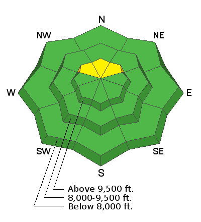
There is a MODERATE avalanche danger in areas that have received the most new snow over the weekend AND have pre-existing weak sugar snow from November. The most likely location for a person to trigger an avalanche is high elevation north facing slopes in the central Skyline (Pleasant Creek down to Horseshoe Mtn). That said, because it's difficult to travel in the shallow, bottomless snowpack, it will be difficult for people to get into terrain that can avalanche.
Low
Moderate
Considerable
High
Extreme
Learn how to read the forecast here
Weather and Snow
Current Conditions: The Skyline picked up another 2 to 5 inches of snow overnight. It is lightly snowing still in the mountains. Temperatures are in the mid teens. Wind is light to moderate in speed from the southwest. There is not really any "base" to the snowpack right now making travel difficult. It consists of very low density snow where you sink right through to the ground. Hopefully this will change soon.
Mountain Weather:
We'll see continued snowfall this morning for a few hours before the storm tapers off. A couple more inches may stack up. Temperatures will remain in the teens today. Wind will shift to the northwest and remain light to moderate in speed. The next storm is shaping up for Thursday which looks like it might bring another good shot of snow.
Ad