
Forecast for the Logan Area Mountains

Issued by Toby Weed on
Wednesday morning, November 5, 2025
Wednesday morning, November 5, 2025
We're back, getting ready for avalanche season, and winter is rapidly approaching! Thanks for checking in. We will restart avalanche forecasting operations as soon as there is enough snow to cover the rocks, so stay tuned. In the meantime, now is a good time to get out your rescue gear, be sure it's all in working order, replace batteries, update software, and practice companion rescue techniques with your backcountry partners.
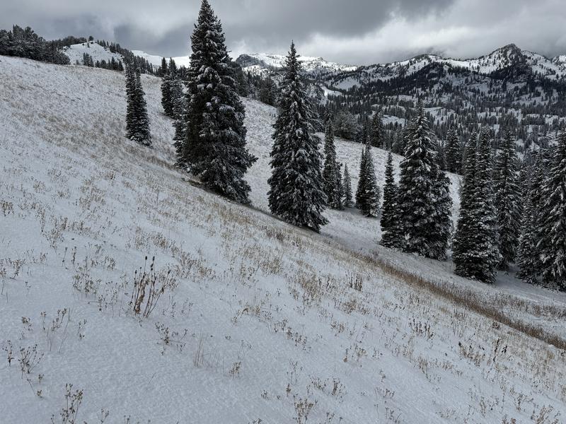
A little bit of snow accumulated on upper elevation slopes in the Bear River Range in late October, but only a few inches remain on the ground in north-facing terrain.

Low
Moderate
Considerable
High
Extreme
Learn how to read the forecast here


