Forecast for the Provo Area Mountains

Issued by Trent Meisenheimer on
Sunday morning, November 30, 2025
Sunday morning, November 30, 2025
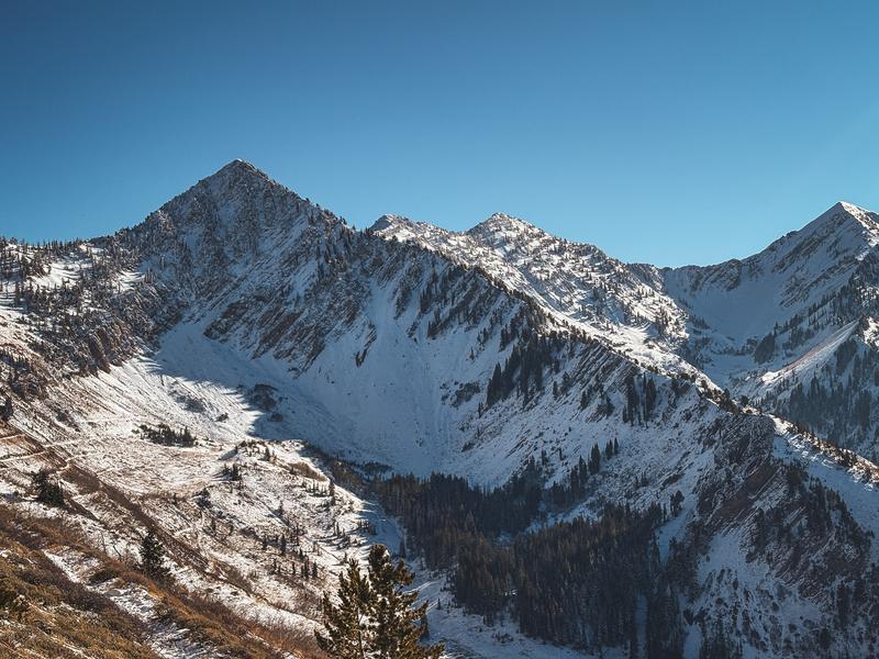
If you are heading out today, keep your guard up on mid and upper elevation north facing terrain above about 8,500 feet. Watch for fresh drifts of wind blown snow and avoid slopes that hold old weak faceted snow. The snowpack is thin, faceted in spots, and just starting to wake up for the season. Any avalanche you trigger right now will be a nasty ride that drags you through rocks, stumps, and all the early season hazards hiding just under the surface.
Check out Bo Torrey's recent observation HERE. And be sure to read our latest blog "A Classic Early-season Intermountain Snowpack"
Be sure to check the uphill travel policies at each resort. We’ll keep you posted as storms line up and the season starts to take shape.

Low
Moderate
Considerable
High
Extreme
Learn how to read the forecast here