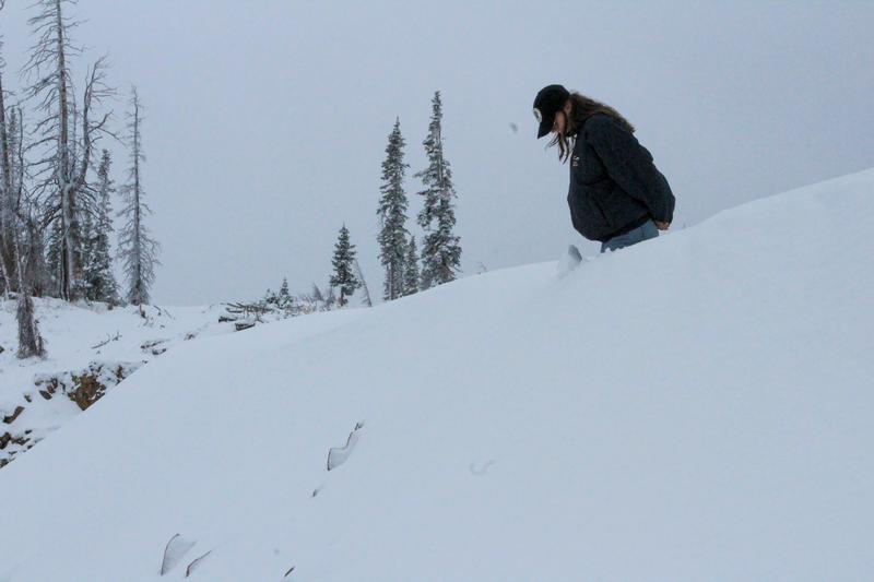
Waist deep in a wind-drift near Bald Mountain at 10,900' (via T.Katz).
When traveling in snow-covered mountains, exercise caution. If there is enough snow to play and ride on, there could be enough snow to slide. Even a small wind-drift or sluff in exposed terrain could prove to be hazardous. Early season conditions exist, and whether you're ice climbing, snowshoeing, or snow-angeling, make sure you are prepared when heading into the hills.
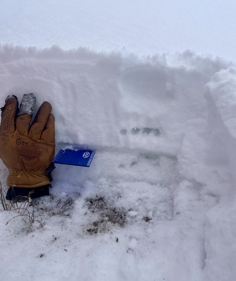
A north facing slope at 10,700' near Bald Mountain Pass in a protected area, out of the wind zone.
The overall snowpack is 6-12" deep in many areas above 9,500' across the range. In protected areas where the snowpack is deeper, as seen above, new snow sits atop a crust with weaker, old snow below. Old snow is isolated to northerly facing terrain above 10,000', and is pockety at best. Most other slopes were bare prior to this storm.
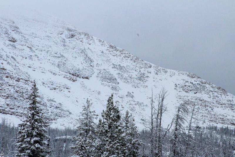
A look at the shoulder of Mt.Watson around 11,000' shows how thin the snowpack is in exposed areas.
Above treeline and in the wind zone, snow is patchy on many slopes, exposing rocks and other terrain features. During the storm, southwesterly winds gusted into the 30's (MPH), scouring and moving snow on many upper elevation ridgelines and peaks.