Forecast for the Skyline Area Mountains

Brett Kobernik
Issued by Brett Kobernik on
Tuesday morning, December 15, 2020
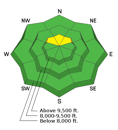
Most of the terrain along the Skyline has a LOW avalanche danger today. A MODERATE avalanche danger does exist in upper elevation northerly facing terrain that holds old weak snow from November. All of the low density powder with no base makes it difficult for people to travel into terrain that has an unstable snowpack. However, if you really try, you can get into some of this terrain where human triggered avalanches are possible.
Low
Moderate
Considerable
High
Extreme
Learn how to read the forecast here
Weather and Snow
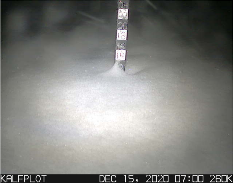
Current Conditions: Wow. The storm that was supposed to taper off Monday afternoon kept producing snow overnight and it's still snowing. We are up to 12" since Monday morning. That's about twice as much as I was expecting. This snow continues to be very low density powder. Total depths are up to 2 feet. It's basically just a bunch of fluff out there right now with no base. This makes travel difficult but that will most likely change in a few days as all this snow settles and becomes more dense. Temperatures are in the single digits at a number of weather stations. The wind has been light to moderate in speed from the west.
Mountain Weather:
I'm expecting the snow to let up this morning and we should see the clouds breaking. Temperatures are going to remain fairly cool with highs along the ridgetops in the teens. The wind will be from the northwest and will stay light to moderate in speed. The next storm is shaping up for Thursday which currently looks like it will bring 5 to 9 inches of snow.
Ad