Forecast for the Skyline Area Mountains

Brett Kobernik
Issued by Brett Kobernik on
Saturday morning, January 4, 2020
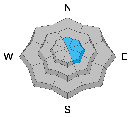
We have generally safe avalanche conditions right now. If you're looking for trouble, you could find it in the steep upper elevation more east facing slopes where the wind has formed fresh drifts. There is a MODERATE avalanche danger in these areas meaning human triggered avalanches are possible. Avoid steep wind loaded slopes and you'll avoid trouble today.
Low
Moderate
Considerable
High
Extreme
Learn how to read the forecast here
Weather and Snow
Overall the snowpack is in decent shape. You can find areas with weak layers of snow if you hunt around but as of now, things look pretty good. Below is a one minute review of the past week:

Weather: Today looks like a nice day with mostly clear skies and quite mild temperatures. Southwest wind will increase along the higher terrain today. Sunday looks like it will start out nice and then a weak storm moves through Sunday night bringing a trace to a few inches of snow. The next system is shaping up for about Wednesday but as of now it looks like it will only bring a few inches of snow to our zone.
Ad
Avalanche Problem #1
Wind Drifted Snow
Type
Location
Likelihood
Size
Description
The recently formed wind drifts become more stubborn as time goes on. There's still a chance you could trigger one today. It appears that the northern end of the Skyline received the most wind out of the last storm. Today's wind may move some snow and form some fresh drifts also. Places that come to mind where you might trigger something today are the steep upper bowls in Lake, Rolfson, Staker, Jordan, and Seeley Canyons.
Additional Information
This forecast is from the U.S. Forest Service, which is solely responsible for its content. This forecast describes general avalanche conditions and local variations always occur.