Forecast for the Skyline Area Mountains

Brett Kobernik
Issued by Brett Kobernik on
Thursday morning, February 20, 2025
The avalanche danger on the Skyline is CONSIDERABLE today.
Low
Moderate
Considerable
High
Extreme
Learn how to read the forecast here
Special Announcements
Help the University of Utah understand risk behavior in the backcountry by participating in a 15-minute survey. The U will compensate up to $30 for your time! Please note: responses will not be confidential but will be handled ethically under IRB guidelines.
SURVEY HERE
Weather and Snow
Current Conditions: As of 6am, we've picked up around 3 inches of new snow. The wind has been light to moderate in speed from the southwest. Temperatures peaked at around 30˚F Wednesday and dropped back into the low 20s overnight.
Mountain Weather: We'll see cloudy skies and snow today. I think we could see an additional 2 to 4 inches of snow before the storm finishes tonight. I'm thinking the central and southern end of the range will do a little better than the Fairview zone. The wind will shift and blow more from the west and northwest as the day goes on. It'll generally remain in the moderate speed category, possibly bumping in speed a bit as the day goes on. Temperatures look like they'll remain in the mid 20s. Friday starts out cloudy then things clear out for the weekend as high pressure moves in that will last through next week. I'm not seeing any significant storms until early March.
Ad
Avalanche Problem #1
New Snow
Type
Location
Likelihood
Size
Description
The first thing you'll want to keep an eye on today is what the new snow is doing. My guess is it will be fairly well behaved. Also, this is not going to be a huge snow event so even if you trigger a new snow avalanche, it probably won't be all that harmful. Just keep an eye on what happens today and be aware that the danger could spike a bit if we see more snow than I'm expecting. .
Avalanche Problem #2
Persistent Weak Layer
Type
Location
Likelihood
Size
Description
The new snow isn't going to drastically change the danger of triggering a deeper avalanche that breaks into older weak faceted snow. However, this situation does remain a serious concern. In the majority of the places I've been traveling, there are all sorts of buried weak layers of snow. What we are lacking is a significant slab over the top of them. That said, in areas where the wind has drifted snow, this has created a slab that is sitting on top of the weak snow. These are the areas where you could trigger a deeper avalanche.
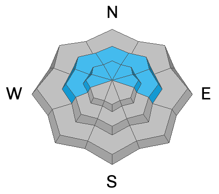
The most likely places to trigger an avalanche that breaks into weak sugary snow is on the upper elevation very steep slopes that face north through east.
While I honestly think that chances for triggering a deeper avalanche today are pretty slim, you won't see me on steep slopes today.
General Announcements
This forecast is from the U.S.D.A. Forest Service, which is solely responsible for its content. This forecast describes general avalanche conditions and local variations always occur.