Forecast for the Skyline Area Mountains

Brett Kobernik
Issued by Brett Kobernik on
Tuesday morning, February 18, 2025
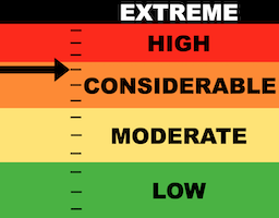
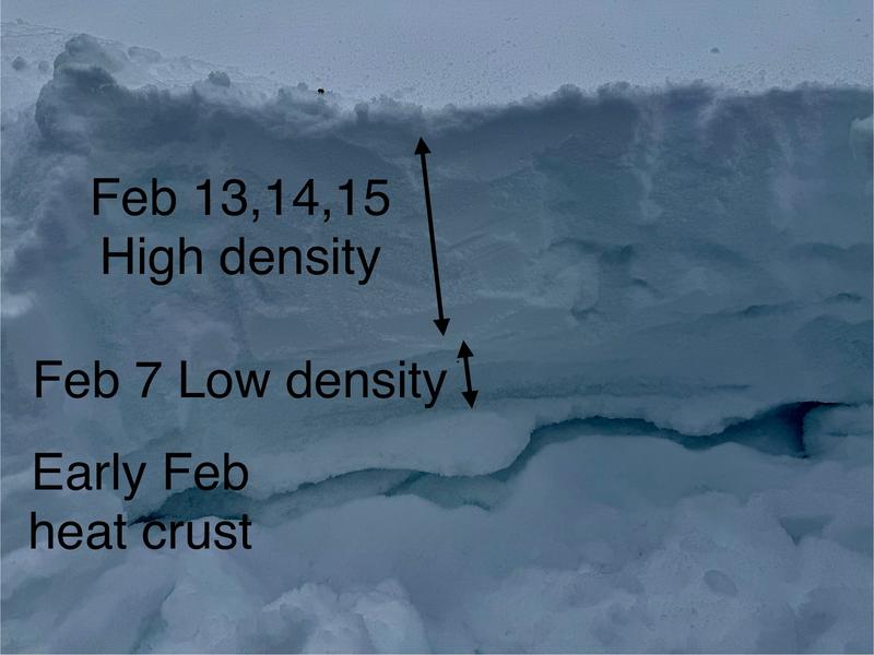
The avalanche danger on the Skyline is CONSIDERABLE today.
Human triggered avalanches are again likely today.
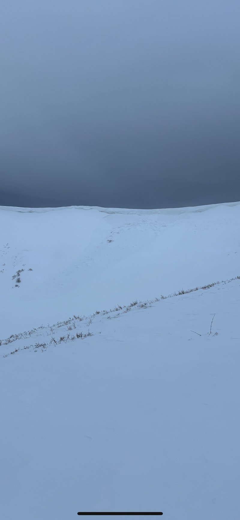
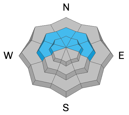
Continue to avoid steep slopes especially those that have been wind loaded that face northeast, east and southeast.
Low
Moderate
Considerable
High
Extreme
Learn how to read the forecast here
Weather and Snow
Current Conditions: Last night's little disturbance didn't produce any snow on the central or southern Skyline. The northern zone picked up a trace. Wind from the west northwest was moderate in speed for the most part on Monday. It is still blowing in the moderate speed category this morning but perhaps just slightly slower. Temperatures were in the mid to upper 20s on Monday and dropped back into the upper teens overnight. Riding conditions are hit or miss. You can find areas that hold great snow but you'll also find plenty of wind damaged surface snow. Check these two backcountry observations from Monday for more details on current conditions:
Mountain Weather: We'll see mostly cloudy skies and the chance for light snowfall with only minor accumulations today. Temperatures should get into the mid 20s. It looks like the wind will again be in the moderate speed category from the northwest. It should be slightly slower than Monday. Another minor event moves through on Thursday bringing an unimpressive amount of new snow.
Recent Avalanches
There was only one minor avalanche reported on Monday but it does demonstrate that the snowpack is still unstable. It was east facing in the north fork of Lake Canyon on the headwall. It was reported as "skier triggered" and I believe the skier was on the ridge and the cornice collapsed triggering a slab avalanche below it. It's difficult to say for certain whether the slide involved just the newer snow or if it broke into deeper sugary facets. It could be easily either case.
PHOTO: Davis Paxton
Ad
Avalanche Problem #1
Wind Drifted Snow
Type
Location
Likelihood
Size
Description
We are still dealing with two different avalanche problems. The first one involves the most recent snow in the upper layers of the pack. Lower density snow from Feb 7 is capped off by higher density snow from the last storm. The majority of the avalanches we saw over the weekend involved this layering and were in areas where the wind had formed larger drifts and slabs on top of it. This situation should settle and stabilize within another day or so. For today, I would again be wary of any steep wind loaded slope. More DETAILS HERE in my Monday observation about this layering.
PHOTO: Brett Kobernik, current slab situation in the upper snowpack
.
Avalanche Problem #2
Persistent Weak Layer
Type
Location
Likelihood
Size
Description
Numerous layers of sugary faceted snow are all over the Skyline this season. The most recent storm did not overload them enough to cause a widespread avalanche cycle. These layers did show their hand in a couple of avalanches that broke deeper. Collapsing of these layers has been reported. Chris Magerl and his group experienced widespread collapsing on Monday in the Electric Lake area. DETAILS HERE The Electric Lake area has an overall shallow snowpack which is a breeding ground for weak snow.
General Announcements
This forecast is from the U.S.D.A. Forest Service, which is solely responsible for its content. This forecast describes general avalanche conditions and local variations always occur.