Forecast for the Skyline Area Mountains

Brett Kobernik
Issued by Brett Kobernik on
Wednesday morning, February 10, 2021
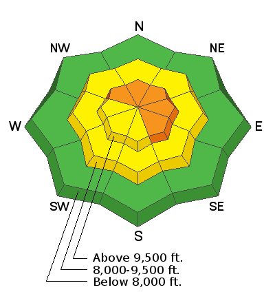
Dangerous conditions remain. The danger rating is CONSIDERABLE today.
Human triggered avalanches are still quite likely especially in higher elevation wind loaded steep slopes. Continue to avoid being on or below slopes steeper than about 30 degrees.
Low
Moderate
Considerable
High
Extreme
Learn how to read the forecast here
Special Announcements
FREE BEACON TRAINING
When: Saturday, Feb 13, 9am to 1pm
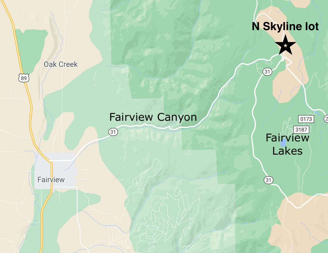
Where: North Skyline Drive parking lot at the top of Fairview Canyon.
How it works: Show up anytime between 9am and 1pm and we'll spend an hour to an hour and a half showing you how to perform an effective beacon search.
Weather and Snow
Current Conditions: Wind speeds have dropped off to another level and are pretty light from the southwest. The weak storm dropped a trace to an inch of snow over the last 24 hours. Temperatures have remained steady in the mid 20s.
Be sure to check out THIS BACKCOUNTRY OBSERVATION from our friend Chris Magerl where he describes what he's been seeing recently.
Mountain Weather: We'll have partly cloudy to mostly cloudy skies today, fairly light westerly wind and highs in the upper 20s. Models continue to tease us with wet weather coming in a series of storms starting Friday. I'll take a closer look tomorrow.
Ad
Avalanche Problem #1
Persistent Weak Layer
Type
Location
Likelihood
Size
Description
We have a very pronounced Persistent Weak Layer of faceted snow at the base of our snowpack. We are starting to stack more layers on this weak foundation. We have seen human triggered and natural avalanches during and after the last few snow storms. You should anticipate that we will continue to see avalanche activity during and after the next storms. That said, you can still find trouble today, no doubt.