Forecast for the Skyline Area Mountains

Brett Kobernik
Issued by Brett Kobernik on
Tuesday morning, December 28, 2021
The avalanche danger remains HIGH on the Manti Skyline. Deep and wide natural avalanches were releasing on Monday. Travel in avalanche terrain is DEFINITELY NOT RECOMMENDED.
Low
Moderate
Considerable
High
Extreme
Learn how to read the forecast here
Avalanche Warning
What
THE AVALANCHE DANGER IS HIGH WITH DANGEROUS AVALANCHE CONDITIONS.
When
IN EFFECT FROM 6 AM MST THIS MORNING TO 6 AM MST WEDNESDAY.
Where
FOR THE MOUNTAINS OF MUCH OF THE STATE OF UTAH, INCLUDING THE WASATCH RANGE...BEAR RIVER RANGE...UINTA MOUNTAINS...AND THE MANTI-SKYLINE.
Impacts
RECENT HEAVY SNOW COMBINED WITH STRONG WINDS WILL CREATE WIDESPREAD AREAS OF UNSTABLE SNOW. BOTH HUMAN TRIGGERED AND NATURAL AVALANCHES ARE LIKELY. STAY OFF OF AND OUT FROM UNDER SLOPES STEEPER THAN 30 DEGREES.
Weather and Snow
Current Conditions
Another 5 to 10 inches of snow fell in the last 24 hours. Total snow depths range from 3 to 5 feet. It seems like the average depth in the higher terrain is a bit less than 4 feet. Southwest wind is still a bit blustery with fairly strong speeds still. Temperatures are around 10˚F. Riding conditions are excellent in many sheltered locations.
Mountain Weather
We'll see cloudy skies today with snow flurries possible, mainly this afternoon when an impulse moves through adding a few more inches of snow. The wind should slow down a bit more as the day progresses. Temperatures aren't going to warm up much. More storms are on their way with the next one moving in late Wednesday. It looks like we should see another foot of snow out of the next little series of storms.
Recent Avalanches
A natural avalanche cycle occurred again on Monday with numerous natural avalanches spotted across the range. These are getting pretty deep now and some of them breaking up to 400 feet wide. Visibility was poor so we really only got a glimpse of what likely happened.
Photo below: Six Mile Canyon, Black Mountain, Ryker Pickett
Ad
Avalanche Problem #1
Persistent Weak Layer
Type
Location
Likelihood
Size
Description
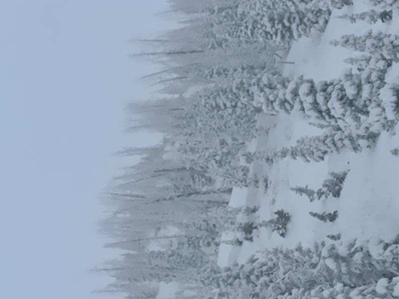
The biggest concern today is an avalanche that breaks deep into a persistent weak layer of sugary snow from October. After some fieldwork on Monday, here is what we know:
  • A distinct layer of sugary faceted snow from October formed and got buried by snow in mid December.
  • Widespread natural avalanches released on Dec 24 during a snow storm with deep, heavy, dense snow.
  • The wind has been relentless over the last 48 hours forming large drifts.
  • Deep and wide natural avalanches were releasing over the last 48 hours.
  • Snow stability tests show stubborn but poor results with the weak layer near the ground failing (full propagation).
Here's what we don't know:
  • How long will it take before the weak snow near the ground becomes stable and safe?
It appears that the weak layer near the ground will heal up and become stable. However, this is a slow process that doesn't happen overnight. Also, we are going to be adding more snow later this week which will continue to stress this layer and keep things dangerous.