Forecast for the Skyline Area Mountains

Brett Kobernik
Issued by Brett Kobernik on
Sunday morning, January 24, 2021
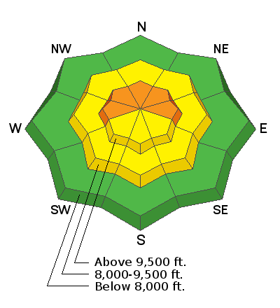
Human triggered avalanches are likely in the upper elevation terrain where the wind has formed recent drifts. The danger is most pronounced on the northern end of the Skyline which received the most new snow. The avalanche danger is rated at CONSIDERABLE.
The weak underlying faceted "sugary" snow is a dangerous situation and nothing to toy with.
Low
Moderate
Considerable
High
Extreme
Learn how to read the forecast here
Weather and Snow
Current Conditions: The storm on Monday favored the north end of the range dropping 14" around the Fairview Canyon zone. The southern end wound up in the 4 to 6 inch range. There was a little more southwest wind than I anticipated and there was definitely some snow being transported along the higher terrain. For a great summary of the current snowpack situation, check out the detailed observations that John Pikus submitted. CLICK HERE FOR REPORT
Mountain Weather:
We're going to see clouds moving through during the day today with a minor chance for a few snowflakes this afternoon. Temperatures will max out around 20˚F and southwest wind will be fairly light. The weather pattern looks unsettled for the next couple of weeks. The next chance for decent snow accumulation is Monday night when 3 to 7 inches of snow is possible.
Ad
Avalanche Problem #1
Persistent Weak Layer
Type
Location
Likelihood
Size
Description
The snow structure on the Skyline is poor. It's actually terrible and will become very dangerous. The majority of the snowpack consists of loose faceted snow crystals. We are now starting to add layers of snow on top of this weak snow. The weak underlying snow is known as a "Persistent Weak Layer" because it will persist and produce avalanches for a long time. You certainly can find trouble out there today but things are going to get worse as more layers are added to the weak snowpack.