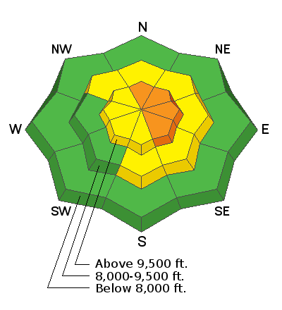
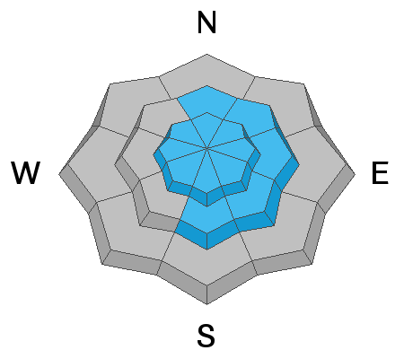
Current Conditions: The storm produced the high end of the expected snow amount with up to 10 inches in the higher terrain over the last 24 hours. The snow is low density powder. This brings snow totals for the week up to 14 to 18 inches containing about 1.3 inches of water. The west wind has been in the moderate speed category along the ridges. I noted that it was moving a little snow during my field observations on Saturday. Temperatures are in the mid teens.
Snowpack Discussion: Many areas have a settled and well consolidated snowpack making them stable. There are some "booby" traps around though it seems. You can find areas where the snowpack is shallow and weak. Clues to this are your skis or poles easily sinking through the entire snowpack or your track dropping or trenching deep. Collapsing or "whoomping" of the snowpack is also a HUGE clue that you are on unstable snow.
Weather: Today we'll see mostly cloudy skies with the chance of some snowfall only adding a trace to a couple of inches. Wind will continue from the west southwest in the moderate speed range along the higher terrain. Temperatures remain in the teens. We have numerous small storms lined up for the foreseeable future. The next one moves through tonight into Monday brining perhaps 3 to 7 inches of snow and a little stronger wind. Another wave will move through Tuesday night into Wednesday bringing a few more inches of snow. Yet another wave looks like it'll move through Thursday into Friday.


