Forecast for the Moab Area Mountains

Eric Trenbeath
Issued by Eric Trenbeath on
Friday morning, March 6, 2020
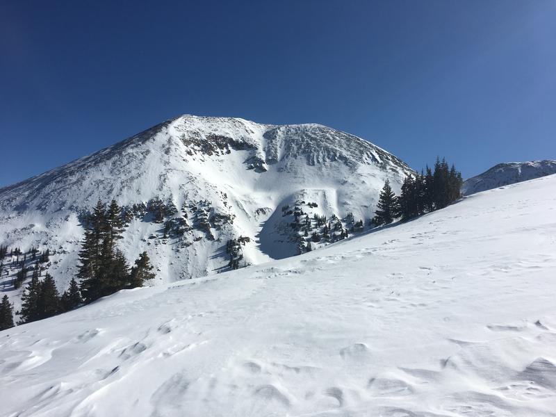
Time and warm temperatures over the past few days have helped to consolidate the most recent snow but there still remains an isolated or MODERATE danger for human triggered avalanches involving wind drifted snow in upper elevation, wind exposed terrain. On steep, northerly facing slopes, a triggered wind slab has the potential to step down into a buried persistent weak layer of loose, sugary, faceted snow. Most other terrain has generally LOW danger but with daytime heating, we may see some shallow, loose, wet avalanche activity on sun-exposed slopes. Avoid steep slopes if they become wet and sloppy.
Low
Moderate
Considerable
High
Extreme
Learn how to read the forecast here
Special Announcements
Road Conditions: Grand County plowed on Monday.
Grooming Report: Grooming is scheduled for today.
Weather and Snow
24 Hour Snow 0" Weekly Snow 13" Base Depth in Gold Basin 56" Wind SE 25 G30 mph Temp 30F
Weather: SE winds ramped up overnight and temps remained fairly warm, barely dipping below freezing in Gold Basin. Today look for sunny skies, breezy southerly winds, and high temps in the low 40's. Tomorrow we should see clouds start to move in ahead of a weak storm system that will affect the region on Sunday.
Snowpack: Spring-like conditions are in effect with melt-freeze crusts on sun exposed slopes that become moist during the day. Some of these slopes may be supportable in the morning with pre-corn like conditions. Northerly facing, wind exposed terrain is scoured and crusted, while some soft, powdery snow can still be found on sheltered aspects.
Charlie Ramser and Ian Marynowski were up yesterday and they reported spring-like conditions and a stabilizing snowpack. Of particular interest was their notation of water percolation in the upper layers of the snowpack. Read their excellent observation here. Shady, northerly facing terrain still harbors plenty of loose, sugary snow below the surface. In some areas, crusts of varying strengths and thicknesses are overlying this weak snow, while in others, the underlying snowpack is completely unsupportable.
Wind exposed terrain has taken a hit. Charlie Ramser photo.
Wind, temperature, humidity on Pre Laurel Peak (11,700')
Storm totals at Gold Basin Study Plot (10,000').
Snotel site near Geyser Pass Trailhead (9600').
Recent Avalanches
No new reports of recent avalanche activity beyond this intentionally triggered avalanche on Tuesday. This slide initiated in the most recent snow, and then stepped down into older, weaker facets that eventually slid out to the ground. This tells me that there are few persistent weak layer concerns out there
Ad
Avalanche Problem #1
Wind Drifted Snow
Type
Location
Likelihood
Size
Description
Wind slabs are becoming more difficult to trigger, but you may still find some areas of unstable, wind drifted snow in the high country. Wind slabs may be triggered on top of an underlying slick, hard surface, or loose, weak layer. Beware of slopes that have a smooth, rounded, or rippled appearance or that sound and feel hollow like a drum. On the shadiest slopes, a triggered wind slab has the potential to step down deeper into a buried persistent weak layer of loose, sugary, faceted snow.
Avalanche Problem #2
Persistent Weak Layer
Type
Location
Likelihood
Size
Description
Human triggered avalanches involving recent or wind drifted snow have the potential to step down into buried persistent weak layers of loose, sugary, faceted snow. You are most likely to encounter this problem on steep, northerly facing slopes where the underlying snowpack is unsupportable, or where buried layers of near-surface facets exist. Exercise caution on steep, north-facing slopes, especially where wind-loaded, and keep an eye toward consequences such as being scraped over rocks or into trees.
General Announcements
Check out the avalanche beacon training park at the Geyser Pass Trailhead and practice your rescue skills!
This forecast is from the U.S. Forest Service, which is solely responsible for its content. This forecast describes general avalanche conditions and local variations always occur.