Forecast for the Moab Area Mountains

Issued by Eric Trenbeath on
Thursday morning, March 19, 2020
Thursday morning, March 19, 2020
Heads up folks, the avalanche danger has risen to CONSIDERABLE and human triggered avalanches involving new and wind drifted snow are likely. Look for signs of instability such as recent avalanches, sluffing, and cracking in the snow surface. On steep, northerly facing slopes, human triggered avalanches failing on a buried persistent weak layer of loose, sugary, faceted snow are also possible. Whumphing and collapsing indicate this type of instability. Backcountry travelers need to have excellent route finding skills today. Stick to low angle, wind-sheltered terrain.

Low
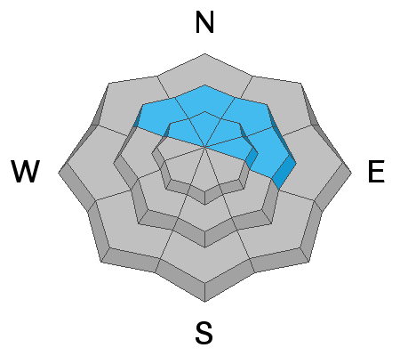
Moderate
Considerable
High
Extreme
Learn how to read the forecast here