Forecast for the Moab Area Mountains

Issued by Eric Trenbeath on
Thursday morning, February 13, 2025
Thursday morning, February 13, 2025
Conditions are about to change! A powerful storm will move into the region this evening bringing strong winds and heavy snowfall to the mountains. Very dangerous avalanche conditions are expected through the weekend.
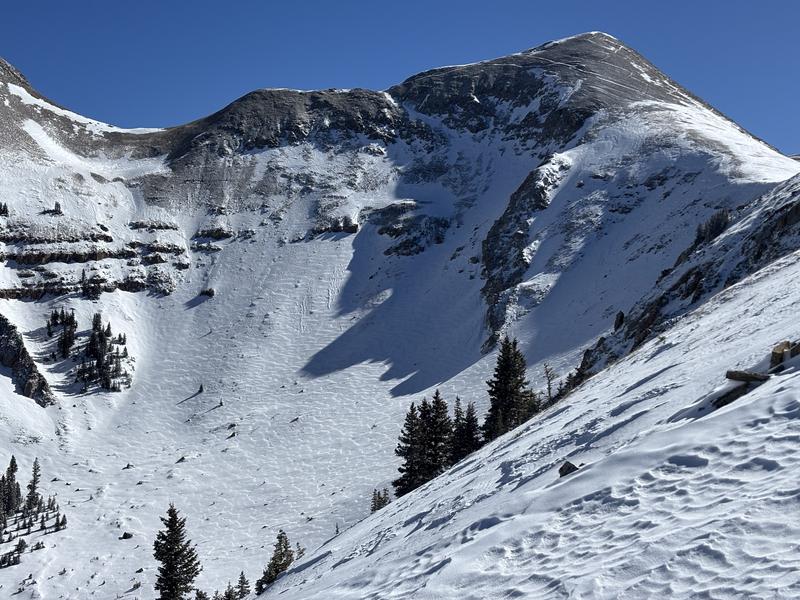
The avalanche danger is generally LOW this morning and should stay that way throughout the day. It may be possible to trigger isolated, shallow soft slabs of wind-drifted snow on the leeward side of ridge crests and terrain features near treeline and above. I expect the danger to begin to rise around dinner time, but be alert to changing conditions with increased wind speeds, and especially if snow begins to fall earlier than expected.

Low
Moderate
Considerable
High
Extreme
Learn how to read the forecast here