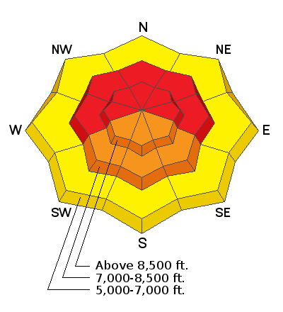
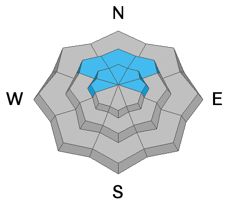
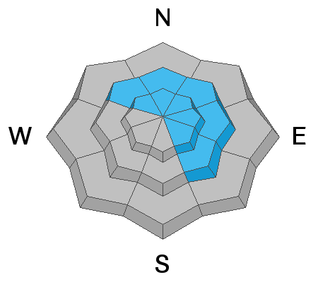
Avalanche conditions are very dangerous in the backcountry, and we are worried about an accident happening this week. When we look at accidents, this winter's weather pattern matches what we see time and time again. Early season snow (October & early November) followed by a dry period (November and first week of December) that weakens the snowpack followed by a stormy period that builds a slab and adds stress to the weak layers underneath.
- The outlook for safer conditions in the near future is good, but for now, please ask your friends and riding partners to be patient and not let powder fever lure them into avalanche terrain.
Snowfall eased up overnight, but it's picked up steam again this morning. Yesterday, 11 additional inches of snow accumulated at the 8400' Tony Grove Lake Snotel, and the station reports 4.2" of SWE since Thursday morning (12-23-2021). Southwest wind increased once again overnight, and this morning it's blowing around 40 mph with gusts near 70 mph at the 9700' CSI Logan Peak weather station. I'm reading 15°F at Tony Grove and 8°F at Logan Peak this morning.
Expect heavy snowfall, blowing snow, and strong southwest winds in the mountains again today, with steady temperatures around 15°F at 8500'. More than a foot of snow is forecast to accumulate on upper elevation slopes again today, and snowfall will continue into tonight.
Very dangerous avalanche conditions exist in the backcountry and large natural avalanches are likely. People should avoid all travel in avalanche terrain and stay off and out from under steep slopes including obvious or historic avalanche paths.
There were no avalanches reported yesterday, but that doesn't mean there weren't any. Clouds and snowfall have made it hard to see many suspect slide paths.
- Please report any evidence of natural avalanches if you come across it in the next few days.
Check
HERE for all the latest observations and avalanche activity.


