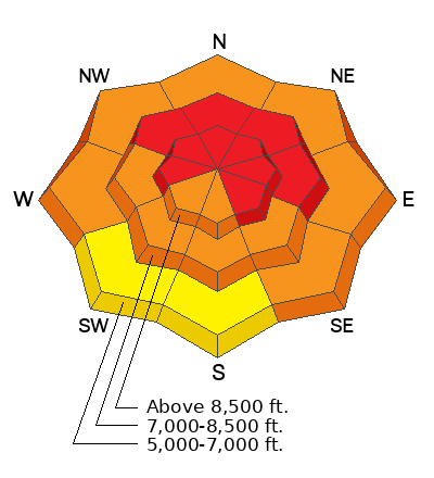
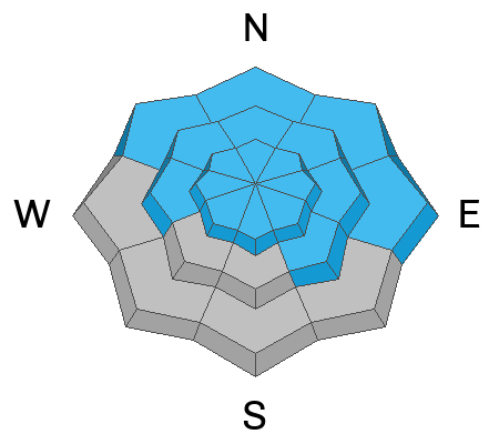
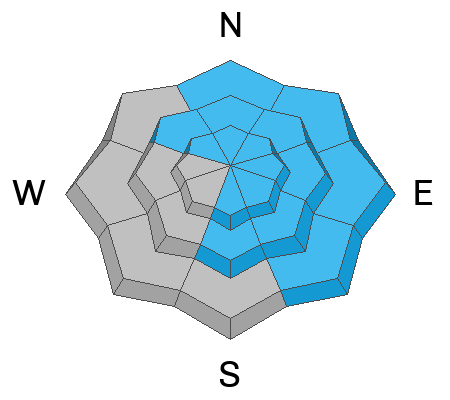
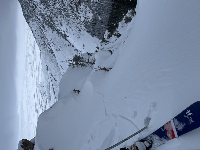
Very dangerous conditions exist because yesterday's extremely strong winds drifted tons of snow and created thick slabs overloading slopes with buried persistent weak layers. The danger could be worse in the northern part of the zone where more new snow fell and drifting was quite intense.
The snow from November has become a widespread and tricky persistent weak layer plaguing many slopes at all elevations in the Logan Zone.
This morning: Winds diminished significantly overnight and it's fairly calm at the Logan Summit weather station, where crazy up-canyon winds were gusting in the 70 mph range for much of the day yesterday. I'm reading 1° F and there is 6 inches of wind blasted new snow from the last 24 hours at the 8400' Tony Grove Snotel, which reports 52 inches of total snow.
Today will be mostly sunny and cold, with 8500' high temperatures near 9° F. West-northwest winds will blow 11 to 14 mph and wind chill values will be as low as -25° F.
Tonight, cloudiness and temperatures will increase and some snow is possible. Temperatures will climb to around 13° F by morning, and west-southwest winds will blow around 10 mph. Around a half inch of new snow is possible.
Tomorrow will be cloudy and snow is likely. 8500' high temperatures will be around 21° F, with 11 mph winds from the west-southwest, and 1 to 3 inches of accumulation.
The weather for the Christmas weekend looks unsettled and somewhat cloudy, and the next chance for significant storminess and accumulating snow will effect the Logan Zone on Tuesday
Natural avalanches were fairly widespread during yesterday's stormy weather. We observed several small naturals in Logan and Beaver Canyons during the day. A party reports remotely triggering an avalanche of wind drifted snow in Cherry Creek Canyon, and there was some activity in the backcountry on the backside of Beaver Mountain.
***See our updated list of observed avalanches from the Logan Zone
HERE and from across Utah
HERE 


