Forecast for the Abajos Area Mountains

Eric Trenbeath
Issued by Eric Trenbeath on
Wednesday morning, March 18, 2020
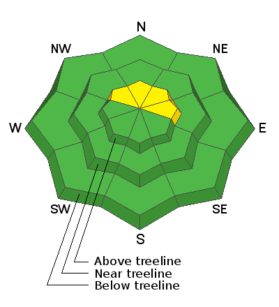
Blowing and drifting snow have created isolated wind slabs on upper elevation slopes facing NW-N-E where there is a MODERATE danger for human triggered avalanches. As new snow begins to accumulate later today look for shallow fresh drifts to form in these same areas. Most other terrain has generally LOW danger.
Low
Moderate
Considerable
High
Extreme
Learn how to read the forecast here
Special Announcements
We know there is a lot of uncertainty regarding the Coronavirus, but the Utah Avalanche Center is planning to continue issuing regular avalanche forecasts into April.
Weather and Snow
Clouds are moving in and southerly winds are cranking as a low-pressure storm system moves into the region. There are some model discrepancies with this one and snow totals are uncertain but we should see showers develop this afternoon with 1"-3" possible. Southerly winds will continue to blow in the 20-30 mph range with gusts in the 40's. High temps will be in the low 30's. Snow should pick up tonight and linger through tomorrow. It looks like about 4"-8" when it's all said and done.
Snow totals at Buckboard Flat (8924')
Snow totals at Camp Jackson (8858')
General Announcements
This forecast is from the U.S. Forest Service, which is solely responsible for its content. This forecast describes general avalanche conditions and local variations always occur.