Forecast for the Abajos Area Mountains

Eric Trenbeath
Issued by Eric Trenbeath on
Monday morning, December 2, 2019
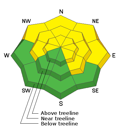
The avalanche danger is MODERATE on steep slopes facing the north half of the compass. This means that human triggered avalanches are still possible but the areas you may trigger them are more isolated in nature. Continue to avoid steep, wind drifted slopes. We've also begun to note the presence of buried weak layers on northerly aspects where the snowpack is shallower. Careful, slope by slope analysis is important at this time. Carry appropriate rescue gear and practice safe travel techniques - only put one person on a slope at a time, and wait at the bottom well out of the way.
Low
Moderate
Considerable
High
Extreme
Learn how to read the forecast here
Special Announcements
The First Annual Avalanche Awareness Week is December 2-7 We have a week full of fun and educational events planned. Check out the schedule here.
The annual free Know Before You Go avalanche awareness talk will be held at the Grand County Library on Thursday, Dec 5 at 6:00 p.m. Hope to see you there!
Weather and Snow
It was a wild Thanksgiving week in the Abajos with lots of snow and wind. A storm on Tuesday and a two-part storm over Thanksgiving brought 3'-4' to the mountains and coverage is the best I have seen for this time of year. Strong winds from all directions have taken a bit of a toll leaving some exposed slopes blasted down to the grass while leaving others remarkably intact. Soft, settled powder can still be found however in many locations.
Snowpack Discussion
In our travels yesterday we saw evidence of cracking and slab failure that had occurred during the storm but we saw no actual avalanches, and instabilities within the storm snow had settled out. We noted the presence of wind drifts on steep slopes that should still be avoided, but overall we found a mostly strong snowpack devoid of reactive weak layers. At 10.000' we measured 62" of snow. Travis Nauman, on the other hand, sent in this observation where he noted the presence of reactive weak layers on NE aspect around 9000' which is certainly a cause for concern. We currently have very limited data and until we gather more, a slope by slope analysis will need to conducted before venturing on to steep, northerly facing terrain.
Snow totals at Buckboard Flat (8924')
Snow totals at Camp Jackson (8858')
Wind, temperature, and humidity on Abajo Peak (11,000')