Forecast for the Logan Area Mountains

Paige Pagnucco
Issued by Paige Pagnucco on
Saturday morning, January 25, 2025
Avalanche danger is MODERATE on wind-loaded slopes steeper than 30° in upper elevation terrain, where you could trigger a wind slab 1-2 feet deep. Watch for shooting cracks indicating instability, and avoid hollow-sounding or rounded pillows of snow.
Evaluate snow and terrain carefully, and reconsider your route if it takes you onto or under steep slopes with recent deposits of wind-drifted snow.
Low
Moderate
Considerable
High
Extreme
Learn how to read the forecast here
Special Announcements
Urgent battery replacement is required for anyone who received batteries from one of our participating "Batteries for Beacons" shops. Please review the replacement notice for "Batteries for Beacons" on our blog, HERE. Batteries distributed through our "Batteries for Beacons" program this year are of inadequate length. We apologize and will provide you with new batteries.
Weather and Snow
Yesterday, we encountered variable snow and weather conditions in our travels around Tony Grove. It was snowing and blowing to start, but then the day gradually cleared. All tolled, we got about an inch of snow. The riding is supportable, but you feel every bump under the track. The wind has wreaked havoc in exposed terrain, and you must hunt to find consistent soft snow. We found windboard on all aspects, sometimes breakable, sometimes not. Not your typical Utah setup but at least the avalanche danger isn't higher. Expect a cold and blustery day today with east winds and little snowfall. Windslabs could develop in places you normally wouldn't expect to see them. As they say, nothing good ever comes from an east wind.

-The Tony Grove Snotel at 8400 feet reports 11° F, with 56 inches of total snow. At the Card Canyon weather station at 8800 feet, it's 6° F and there is 43 inches of total snow.
-At the CSI Logan Peak weather station at 9700 feet, winds are blowing from the east around 26 mph with gusts to 35 mph, and it's 5° F, with a windchill of -18° F. On Paris Peak, at 9500 feet, it is 4° F, the winds are blowing from the east-southeast at 8 to 13 mph.

It's going to be a cold and blustery day in the mountains, with an 8500' high of around 10° F and windchills closer to -5 to -10 ° F. We are on the receiving end of easterly winds from a cutoff low to our south, and wind speeds today will hover around 18 to 23 MPH with gusts near 40 MPH. We should see clearing and warmer temperatures as the system moves out over the next few days. High pressure dominates the forecast for the upcoming work week.

For more information, visit the UAC weather page here: Weather - Utah Avalanche Center
For Logan-specific weather, go here: Logan Mountain Weather - Utah Avalanche Center
Recent Avalanches
Ad
Avalanche Problem #1
Wind Drifted Snow
Type
Location
Likelihood
Size
Description
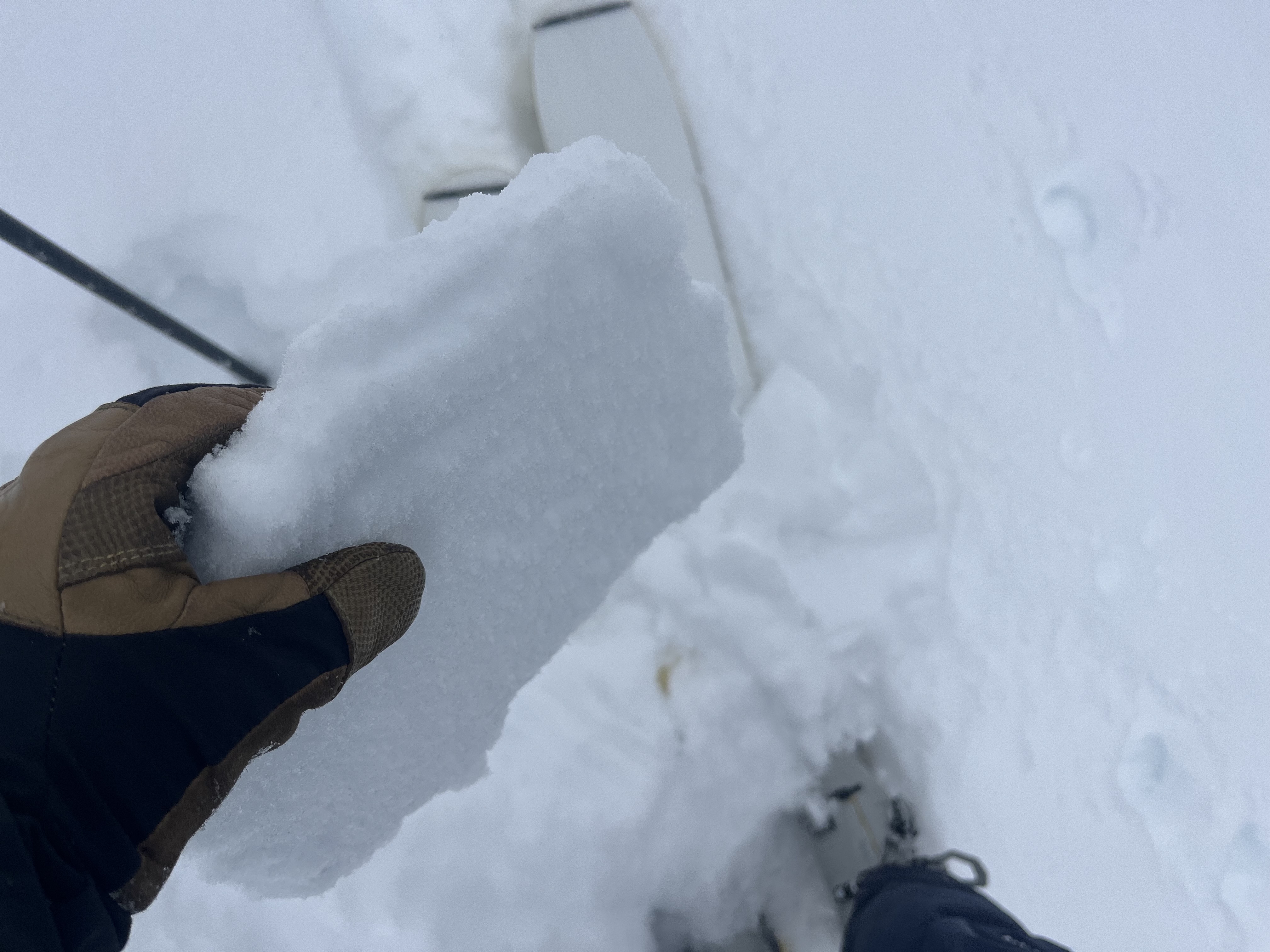
Recent drifting has built stiff wind slabs on weak, sugary surface snow in exposed terrain, making it possible to trigger 1-2 foot thick slabs on steep, wind-loaded slopes. These slabs are easy to identify and may produce hollow drum-like sounds. Wind-drifted snow is generally stiffer than the surrounding snow, and with the east winds, expect slabs to form in unlikely areas.
  • Wind-drifted snow is most likely to be found on the lee side of ridges, near cornices, and around terrain features like cliff bands and gullies.
  • Many slabs may be sensitive and easy to trigger, though hard slabs may release suddenly, similar to yesterday’s unintentionally triggered avalanche.
  • Watch for shooting cracks, a clear sign of instability, and be aware that some slabs may trigger remotely.
Breakable wind crust was the theme yesterday, though we did find some soft snow in very sheltered, lower-angle terrain.

While the snow is stable on most slopes, a dormant, persistent weak layer near the ground is still a potential problem in isolated or outlying terrain. Recent drifting may overload slopes with poor snow structure, and although unlikely, isolated hard slab avalanches, breaking 2 to 4 feet deep on a persistent weak layer near the ground are possible, and the consequences could be severe. Deep hard slab avalanches are possible in extreme mountain terrain, and rocky, windswept slopes in northerly facing terrain with thin snow cover are suspect.
Isolated hard slab avalanches might be triggered from a "sweet spot" or a shallower part of the slab. (see Bruce Jamieson's YouTube video below)
Additional Information
Check out this video by Bruce Jamieson about triggering a persistent slab avalanche from a thin spot: Although unlikely this weekend, human-triggered avalanches failing on a buried persistent weak layer remain possible in the Logan Zone.
General Announcements
-National Forest Winter Recreation Travel Maps show where it's open to ride: UWCNF Logan, Ogden LRD Tony Grove, Franklin Basin CTNF Montpelier
-For all questions on forecasts, education, Know Before You Go, events, online purchases, or fundraising, call 801-365-5522.
-Remember the information you provide could save lives, especially if you see or trigger an avalanche. To report an avalanche or submit an observation from the backcountry, go HERE.
-Receive forecast region-specific text message alerts to receive messages about changing avalanche conditions, watches, and warnings. Sign up and update your preferences HERE.

This forecast is from the U.S.D.A. Forest Service, which is solely responsible for its content. This forecast describes general avalanche conditions, and local variations always occur.