Forecast for the Logan Area Mountains

Toby Weed
Issued by Toby Weed on
Friday morning, December 13, 2024
The avalanche danger is LOW in the backcountry, and although weak sugary snow is widespread, it is currently stable on most slopes. Expect rising danger this weekend; dangerous conditions could develop on many upper and mid-elevation slopes by Sunday morning.
Use normal caution. Keep your speed down to avoid hitting shallowly buried rocks, stumps, and downed trees.
Low
Moderate
Considerable
High
Extreme
Learn how to read the forecast here
Special Announcements
Gear up for the season or score great deals on gifts for loved ones this holiday season while supporting the UAC’s efforts. Your participation directly funds the state's avalanche forecasting, awareness, and education programs. Check out the auction found here!
Weather and Snow
People might trigger small avalanches of wind-drifted snow and should avoid recently formed drifts on upper elevation slopes steeper than 30°. Fairly strong winds out of the west earlier in the week elevated avalanche conditions a little bit in exposed upper-elevation terrain. Loose avalanches, or sluffs, consisting of cohesionless faceted snow, are possible on very steep slopes. Our greatest concern continues to be people hitting rocks, downed trees, and stumps. If you want to work for it, you can find pockets of cold, dry old snow in sheltered, shaded terrain.
-I'm reading 20 inches of total snow, and 19° F at the UAC Card Canyon weather station at 8700 feet above sea level.
-With one inch of new snow, there is 18 inches of total snow at the Tony Grove Snotel, and its 25° F.
-Currently, at 9700 feet in elevation at the CSI Logan Peak weather station, it's 17° F, and the wind is blowing 18 to 24 mph from the southwest.
-At 9500 feet, at the UAC Paris Peak weather station, it's 15° F, and winds are from the south-southwest, blowing 5 to 11 mph.
Expect mostly cloudy skies in the mountains today, with snow likely this morning. 1 to 3 inches of accumulation is possible up high, with 8500-foot high temperatures around 26° F and winds blowing from the west 6 to 11 mph and wind chill values around zero. A Pacific storm forecast for this weekend could bring significant snowfall, with a possibility of 8 to 12 inches of accumulation on Saturday night in the Bear River mountains. Total snow accumulation of 11 to 20 inches is possible in favored areas in the Logan Zone. The much-needed snowfall will come in on widespread preexisting, very weak sugary snow, and the avalanche danger will increase significantly in the backcountry. Dangerous avalanche conditions are likely to develop on drifted upper-elevation slopes.

For more information, visit the UAC weather page here: Weather - Utah Avalanche Center
For Logan-specific weather, go here: Logan Mountain Weather - Utah Avalanche Center

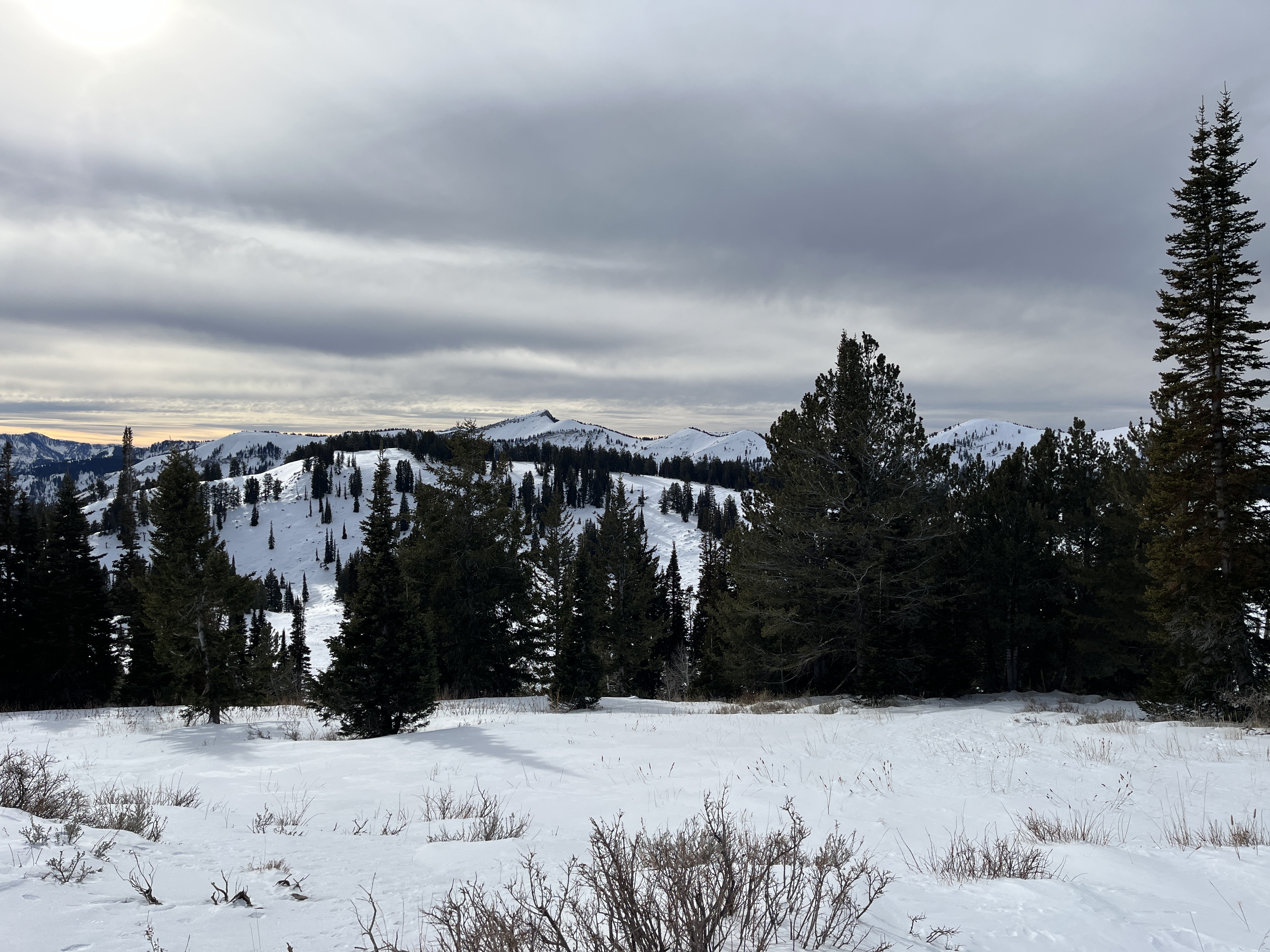
Not much in the way of powder, but the mountains are deceptively white at upper elevations in the Bear River Range. This is a view of Mt. Elmer in the Mt Naomi Wilderness from the north.
Recent Avalanches
No significant avalanches have been reported recently.
You can read all observations here.
Ad
Avalanche Problem #1
Wind Drifted Snow
Type
Location
Likelihood
Size
Description
Winds earlier in the week scoured snow off windward slopes and low-angled terrain in fetch areas and deposited it as stiff drifts or wind slabs where it decelerated in lee terrain.
  • Today people might trigger small avalanches of wind-drifted snow on recently drifted slopes steeper than 30°, where stiffer slabs formed on weak faceted snow.
  • Be vigilant in exposed, upper-elevation terrain facing northwest through southeast and in and around terrain features like gullies, rock outcroppings, and sub-ridges.
  • Getting caught in even a small avalanche right now would be especially dangerous because of the abundance of shallowly buried obstacles like rocks, stumps, and downed trees.
Additional Information
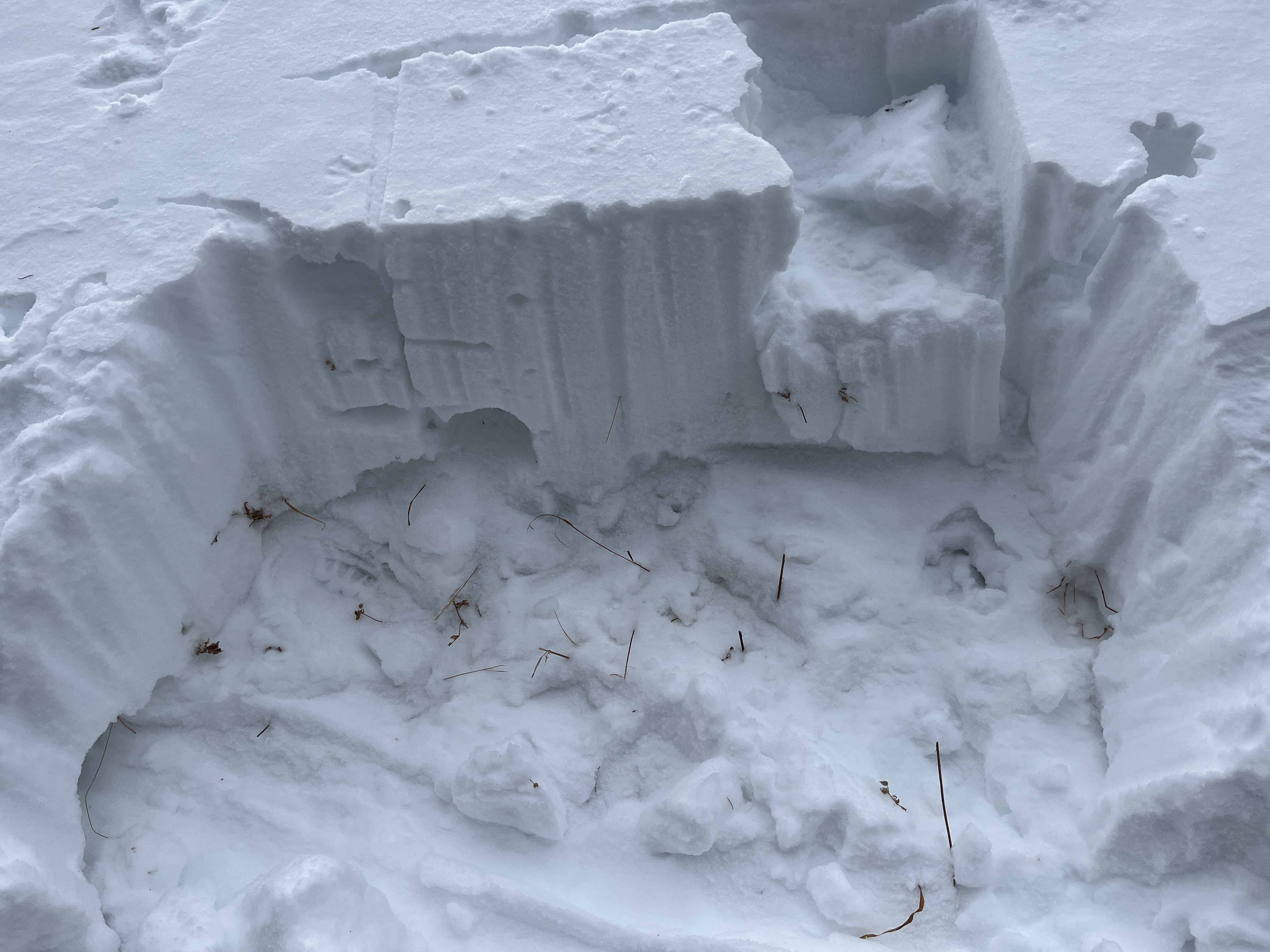
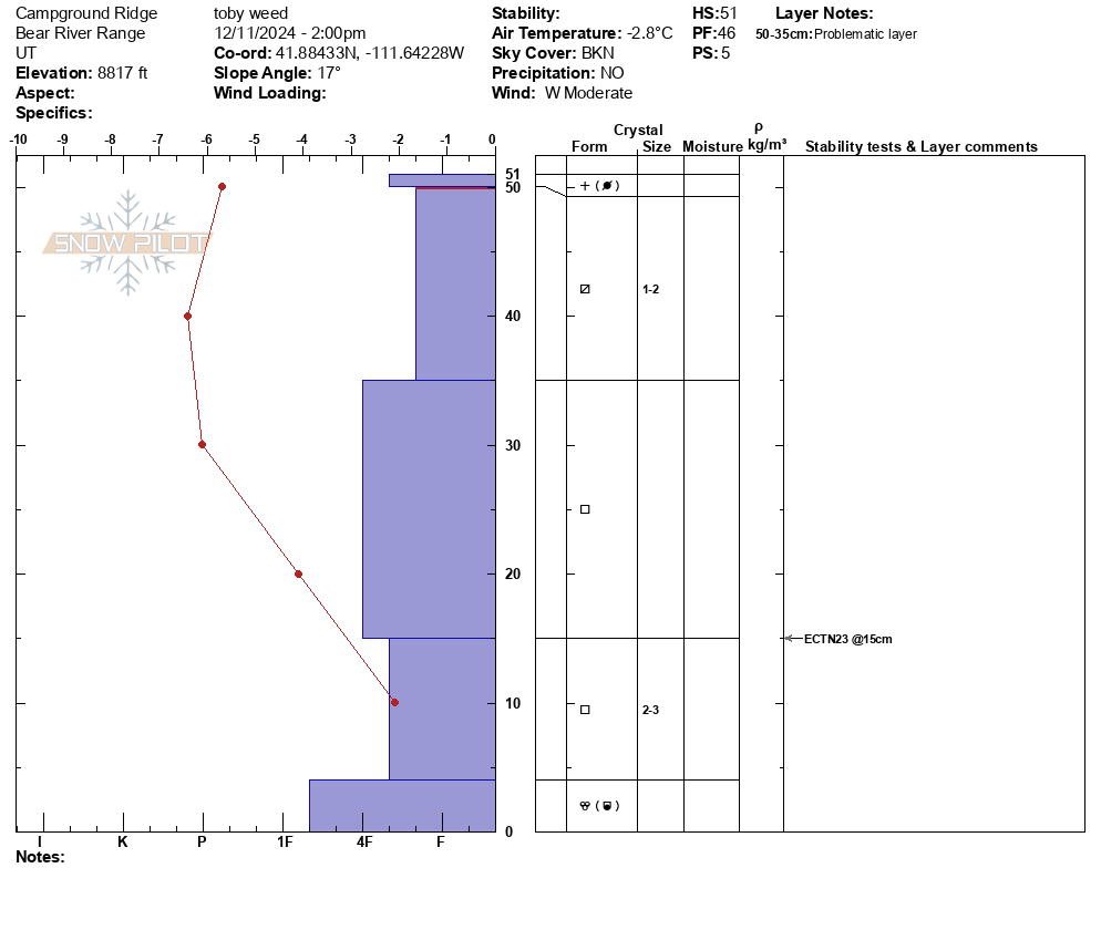
The weak sugary snow is only 1 to 2 feet deep, even in upper-elevation terrain. This is from 8800 feet on a north-facing slope in the Tony Grove Area.
General Announcements
-National Forest Winter Recreation Travel Maps show where it's open to ride: UWCNF Logan, Ogden LRD Tony Grove, Franklin Basin CTNF Montpelier
-Sign up for forecast region-specific text message alerts. You will receive messages about changing avalanche conditions, watches, and warnings...HERE.
-For all questions on forecasts, education, Know Before You Go, events, online purchases, or fundraising, call 801-365-5522.
-To report an avalanche or submit an observation from the backcountry, go HERE.
-Remember that the Tony Grove Road is not maintained for winter driving. Treacherous snow-covered and icy conditions will be encountered.

This forecast is from the U.S.D.A. Forest Service, which is solely responsible for its content. This forecast describes general avalanche conditions, and local variations always occur.