Forecast for the Skyline Area Mountains

Brett Kobernik
Issued by Brett Kobernik on
Sunday morning, February 16, 2020
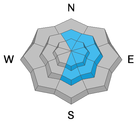
There is a MODERATE avalanche danger in the higher terrain where fresh wind drifts and cornices will form today especially on the more east facing slopes. Look for any fresh avalanches and watch for cracking within the new drifts. These are indicators of danger. Outside of wind affected terrain the avalanche danger will remain fairly LOW.
Low
Moderate
Considerable
High
Extreme
Learn how to read the forecast here
Weather and Snow
Current Conditions: It's a bit breezy along the ridgetops and higher peaks and it looks like the wind will continue. Many areas were still holding excellent snow on Saturday. With continued strong wind, riding conditions will continue to deteriorate unless the next storm helps us out with a little refresher. Check out some backcountry observations from John Pikus here.
Mountain Weather: The next storm moves through today and into tonight. It looks like it's going to be a windy one. Wind direction will be west and northwest. We should see snowfall start this morning and linger into tonight. I'm only expecting 3 to 5 inches of new snow. Temperatures remain fairly mild today with highs in the upper 20s. Temperatures are going to start feeling like winter again over the next few days with a cooling trend. The next storm looks like it's at least a week away.
Ad
Avalanche Problem #1
Wind Drifted Snow
Type
Location
Likelihood
Size
Description
Wind drifted snow is going to be your concern today. The wind will transport snow and deposit it on the more east facing slopes. These new deposits of wind drifted snow are always most sensitive when they are forming and directly afterward. With dense snow currently on the surface, I'm not expecting as much avalanche activity as we saw with last week's windy storm. The big difference is that last week's storm landed on top of very low density powder which provided a weak layer. This week's storm will be landing on a stronger and more dense layer of snow. Regardless, keep an eye out for fresh wind drifts, wind slabs and cornices today and Monday.
Additional Information
This forecast is from the U.S. Forest Service, which is solely responsible for its content. This forecast describes general avalanche conditions and local variations always occur.