Forecast for the Moab Area Mountains

Issued by Eric Trenbeath on
Thursday morning, January 23, 2020
Thursday morning, January 23, 2020
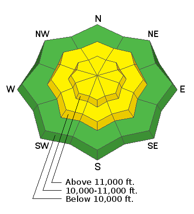
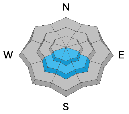
The avalanche danger is MODERATE today and human triggered avalanches involving a variety of problems are possible. Steep, wind drifted slopes right around tree line and above that face N-NE-E are the most likely areas for you to trigger an avalanche up to 18" deep. On upper elevation slopes, areas of wind drifted snow may be found on all aspects. Fresh drifts are recognizable by their smooth, rounded, or rippled appearance, and changes in snow depth along ridgelines can indicate areas of wind loading. Avoid steep, wind drifted slopes today.
There is also a MODERATE danger for triggering an avalanche on a buried persistent weak layer on steep SE-S-SW facing slopes. These usually safer slopes should be avoided until we better understand the extent of this problem.
And finally, though the likelihood has lessened, there remains a MODERATE danger for human triggered avalanches involving the most recent storm snow on steep slopes of all aspects.

Low
Moderate
Considerable
High
Extreme
Learn how to read the forecast here


