Forecast for the Skyline Area Mountains

Brett Kobernik
Issued by Brett Kobernik on
Saturday morning, January 18, 2020
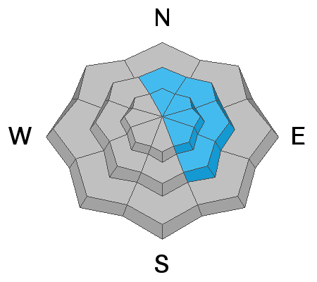
The overall avalanche danger is generally LOW. A pockety MODERATE danger exists on steep wind loaded slopes especially on the east half of the compass. If you avoid steep slopes with recent deposits of wind drifted snow, you'll avoid avalanche danger today.
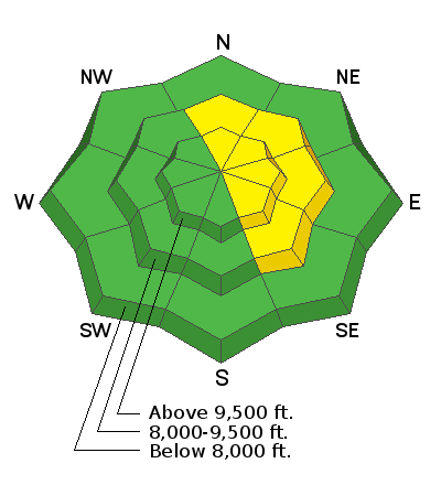
Low
Moderate
Considerable
High
Extreme
Learn how to read the forecast here
Weather and Snow
Current Conditions: The wind has finally slowed down and is generally light from the west. 3 to 6 inches of snow fell during a quick hitting cold front Friday morning. However, it's hard to measure the new snow because the wind continued to blow it all around. Temperatures are in the single digits to low teens.
Here is a 60 second video reviewing the conditions for the week.
Mountain Weather: We have some high clouds streaming through this morning that may clear a bit later today. High temperatures will be in the low to mid 20s. Sunday looks like mostly sunny with slightly warmer temperatures. The next snow storm is shaping up for about Wednesday.
Recent Avalanches
No significant avalanche activity has occurred this week on the Skyline.
Ad
Avalanche Problem #1
Wind Drifted Snow
Type
Location
Likelihood
Size
Description
Most of the drifts that formed this week are going to be stubborn and most likely won't break and release. That said, I'd continue to use caution on the steeper more east facing slopes where large drifts, slabs and cornices have formed.
Additional Information
This forecast is from the U.S. Forest Service, which is solely responsible for its content. This forecast describes general avalanche conditions and local variations always occur.