Forecast for the Skyline Area Mountains

Brett Kobernik
Issued by Brett Kobernik on
Friday morning, January 17, 2020
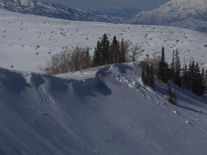
New snow and wind are creating more fresh drifts and cornices. Overall, the avalanche danger is MODERATE today. The most dangerous locations are on the more east facing slopes in the higher terrain but watch for "pockety" fresh drifts and wind slabs that have formed on any aspect in the higher terrain. The avalanche danger will start to decrease this weekend after the fresh drifts have time to settle and stabilize.
Low
Moderate
Considerable
High
Extreme
Learn how to read the forecast here
Weather and Snow
Current Conditions: Windy. It's really been a windy week and the wind continued overnight from the southwest. Riding conditions have taken a hit. Hopefully today's storm will give us a decent refresher.
Mountain Weather: A sharp cold front will move through this morning and we'll see snow start stacking up. It will taper off this afternoon. I'm hoping we'll see 6 inches of new snow. The strong southwest wind will veer north as the cold front passes (frontal passage = FROPA) and it will remain fairly strong through the day before slowing tonight. The weather looks really nice for the weekend with mostly sunny skies, light wind and high temperatures in the mid to upper 20s.
Recent Avalanches
This is the type of minor avalanche activity I've seen this week (photo below). I would've expected a bit more but things were relatively quiet despite the strong wind and lots of drifting snow.
Ad
Avalanche Problem #1
Wind Drifted Snow
Type
Location
Likelihood
Size
Description
Fresh drifts, large cornices and recently formed wind slabs are your main concern today and into the weekend. I'm not anticipating things to be all that dangerous but I'd avoid the most obvious large drifts and cornices where they are present on very steep slopes. You'll find these mainly on the more east facing slopes. The wind has really stirred things up along the higher terrain so you'll find "crossloaded" slopes, drifts and cornices on all sorts of aspects.
Additional Information
This forecast is from the U.S. Forest Service, which is solely responsible for its content. This forecast describes general avalanche conditions and local variations always occur.