Our Backcountry 101 avalanche course has been scheduled for February 15, 16. The cost is $150. The course starts with a 4-hour classroom session the night of the 15th followed by a day in the field. It's a great way to increase your avalanche awareness and backcountry travel skills. Click
here to register. A huge thanks to
Moab Gear Trader for sponsoring this course. Please visit them for all your winter backcountry needs
A new podcst from Drew Hardesty is up - An Avalanche Forecaster, a Meteorologist, and an Economist Walk Into a Bar... check it out
here.
Road Conditions: Expect to find a dusting of new snow on top of a plowed but snowpacked surface.
Grooming update: Matt groomed Gold Basin through Geyser Pass yesterday. A trace to an inch of new snow has fallen since.
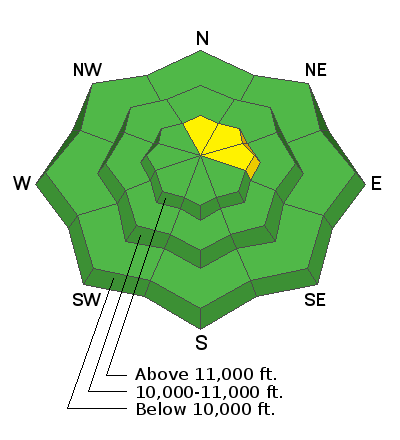
24 Hour Snow 2" Weekly Snow 2" Base Depth in Gold Basin 39" Wind NW 10 mph Temp 5F
Orographic showers from a passing wave produced a trace to 2" of new snow since yesterday afternoon. High clouds are streaming over the area this morning. they should thicken and lower throughout the day as the next in a series of waves moves through the region. Snow showers should develop this afternoon/evening with 2"-4" possible by tomorrow. SW winds will be on the increase today blowing in the 15-20 mph range with gusts to 30 along ridge tops by this afternoon. By tonight and into tomorrow they should really start cranking with gusts as high as 50 mph. Uggh.
I must say conditions leave something to be desired out there right now with a variety of crusts and wind-blasted surfaces. Creamy settled powder can still be found in the most sheltered recess but popular areas are getting pretty tracked out. Let's hope we get a little refresh from the next passing wave.