Forecast for the Moab Area Mountains

Issued by Eric Trenbeath on
Tuesday morning, January 14, 2020
Tuesday morning, January 14, 2020
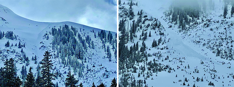
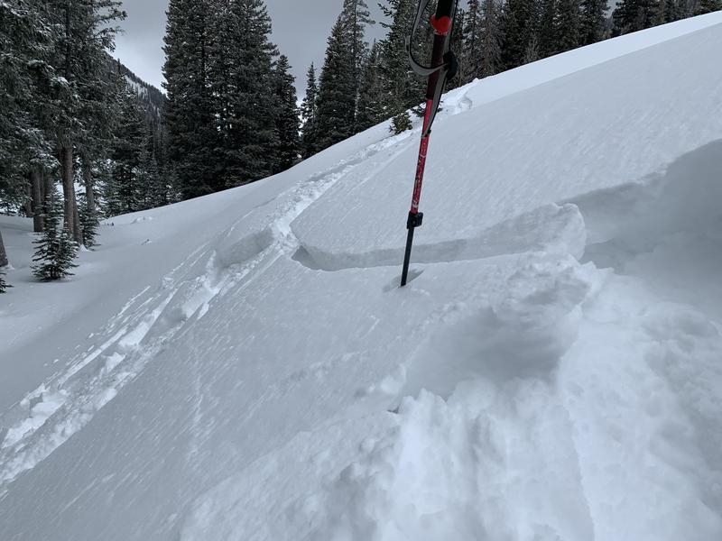
Strong winds yesterday resulted in widespread drifting and slabbing of the most recent snow and the avalanche danger is MODERATE on all aspects at mid and upper elevations, on steep slopes that have recent deposits of wind drifted snow. Recent wind drifts will be recognizable by their smooth rounded appearance, and cracking is a sign of instability. Ranging from 3"-12" deep, wind slabs should be less sensitive today, but steep slopes with more than about 6" of recently deposited, wind drifted snow should be carefully evaluated.

Low
Moderate
Considerable
High
Extreme
Learn how to read the forecast here