


Forecast for the Moab Area Mountains

Issued by Eric Trenbeath on
Saturday morning, December 21, 2019
Saturday morning, December 21, 2019
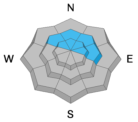
Blowing and drifting snow have created an isolated or MODERATE avalanche danger in steep upper elevation terrain. Look for fresh drifts, and older, harder wind slabs on the lee sides of ridge crests and terrain features such as sub-ridges or gully walls. Wind slabs may feel hollow underfoot, and cracking in the snow surface is a sign of instability. Most other terrain has LOW danger. We're also starting to see some developing layers of weak, sugary snow in the snowpack. Though not currently posing much of a problem, this is something we'll want to keep an eye on for the future.

Low
Moderate
Considerable
High
Extreme
Learn how to read the forecast here
 Special Announcements
Road Conditions: The road is snow-packed, slick, and icy in places. All-wheel drive vehicles with good tires are recommended.
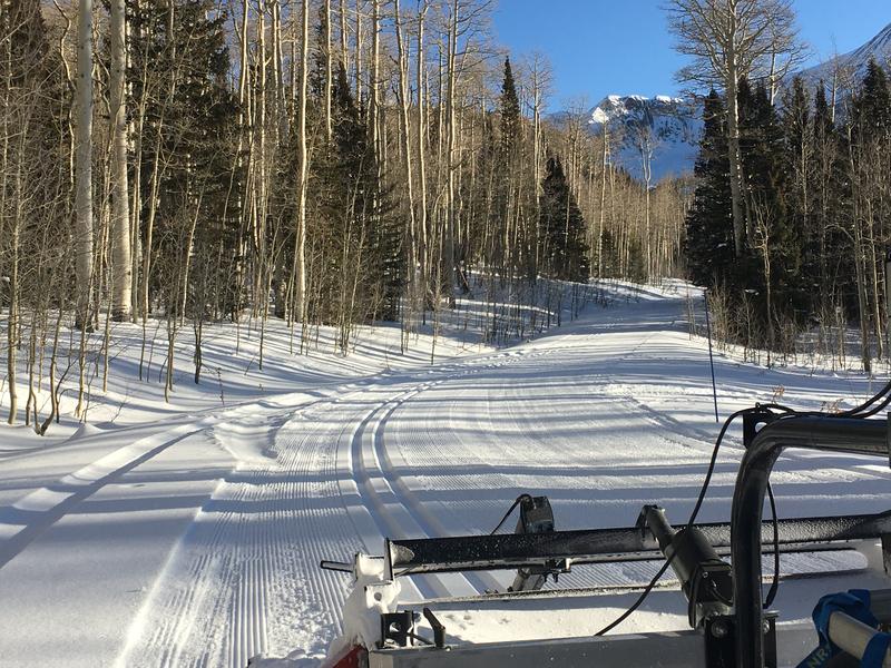
Grooming update: Matt groomed Gold Basin through Geyser Pass and cross country skiing under sunny skies will make for a great winter solstice activity!
 Weather and Snow
24 Hour Snow 0" Weekly Snow 2" Base Depth in Gold Basin 28" Wind SW 10 mph Temp 21F
Happy solstice! Today look for sunny skies, warm temps with a high near freezing, and mostly light SW winds. Conditions will remain dry through Tuesday when a low-pressure system off the southern California coast begins to move into the 4 Corners. By Christmas day, we should get a present!
It's been nearly 3 weeks since our last significant snow and the surface is getting tired and worn. Upper elevation winds have been blowing, drifting, and alternately scouring surfaces all week. In my travels up and over Geyser Pass on Thursday I still managed to find areas with soft settled powder below treeline, but the snowpack is deteriorating.
Charlie Ramser was out and about yesterday and sent in this observation. Nate Ament was also up running around the peaks and he reported snow conditions in the alpine that "run the full spectrum." See his photos below.
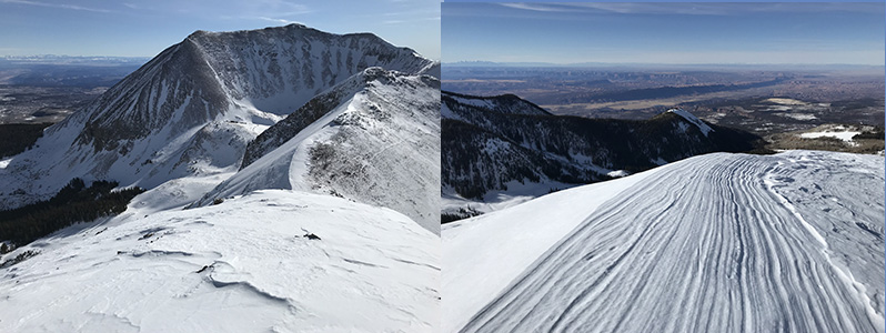
And finally, Cody Marsh sent in this drone footage that illustrates snow conditions in the alpine. Seeing is believing, thanks Cody!
Wind, temperature, humidity on Pre Laurel Peak (11,700')
Storm totals at Gold Basin Study Plot (10,000').
Snotel site near Geyser Pass Trailhead (9600').
NWS weather forecast.

Avalanche Problem #1
Wind Drifted Snow
Type
Location

Likelihood
Size
Description
Winds over the course of the week have blown around what little snow was available for transport and isolated drifts have formed on the leeward sides of ridge crests and terrain features in upper elevation, wind exposed terrain. Fresh drifts are mostly shallow and shouldn't pose too much of a hazard, but they could sweep you off your feet and carry you over a cliff. Wind drifts are recognizable by their smooth, rounded appearance, and cracking in the snow is a sign of instability. The best practice is to avoid steep slopes with wind drifted snow.
Avalanche Problem #2
Persistent Weak Layer
Type
Location
Likelihood
Size
Description
The snowpack is showing signs of deterioration and it is becoming less cohesive, and slightly more loose and sugary. We are starting to see more faceting at the ground, and the mid-pack has a couple weak layers as well. This is definitely something we'll want to keep an eye on when more snow comes.
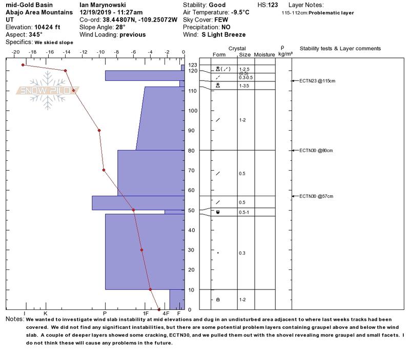
Snowpit profile from an observation sent in by Ian Marynowski illustrates a similar snowpack.
General Announcements
The first UAC podcast of the season " Early Season Essentials with Program Director Bo Torrey" check it out HERE.
Get one of these cool t-shirts to support the UAC and other avalanche centers across the U.S.
This forecast is from the U.S. Forest Service, which is solely responsible for its content. This forecast describes general avalanche conditions and local variations always occur.