Check out the new
weather page created for us by Manti-Skyline forecaster and general do it all guy Brett "Kowboy" Kobernik. Thanks Kow!
The avalanche beacon tester is up and running at the Geyser Pass trailhead! Walk or ride past the sign on your way up - a red X means your beacon is off or not functioning, a green O means you're good to go! Thanks to UAC volunteer and supporter Kristi Jensen from
Coyote Shuttle for helping me get it set up!
Road Conditions: The road is snow-packed and slick but passable to all-wheel drive vehicles with good tires.
Grooming update: Matt rolled and packed into Gold Basin last Sunday. Conditions are good for classic cross country but a bit rugged for skate skiing. I'll be picking up the other machine next week and we'll be able to start running the Ginzu groomer.
Trace amounts of snow have fallen overnight. WSW winds overnight blew 20-30 mph with gusts into the 40's before backing off and swinging around to the WNW early this morning. They are currently light and westerly. 10,000' temps are in the mid 20's.
A band of mid-level clouds is currently spreading over the area as the next wave of energy spills down from the north. Today look for increasing clouds and westerly winds with snowfall beginning later today - likely this afternoon or evening. Temps are about as high as they are going to get. NWS is forecasting some optimistic snow totals of around 6"-10" by tomorrow. This system has never been on track to favor us and those totals seem more likely for the San Juan Mountains. The
NAEFS ensemble is favoring 10" or more, while the
SREF is more in line with what I'm seeing at under 5". Let's hope I'm wrong!
I was down in the Abajos yesterday but Dave Garcia was up in the La Sals keeping tabs on things. Here is his
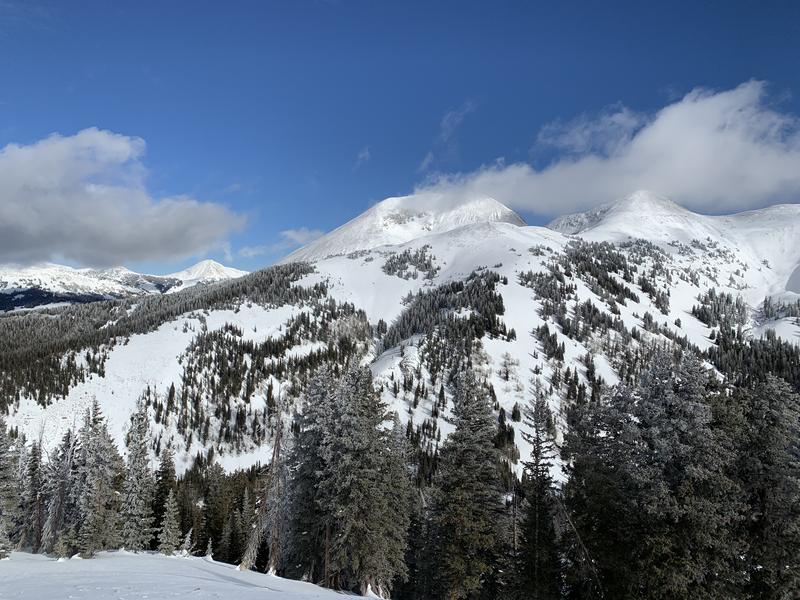
observation. Coverage ranges from 2'-4' deep above 10,000' and the base is mostly supportable. Snow conditions remain decent in sheltered areas while sun and wind crusts have formed on exposed slopes.
Overall coverage is good for this time of year, even on south-facing slopes. Dave Garcia photo.