UDOT PLANNED AVALANCHE CLOSURES!!

Forecast for the Uintas Area Mountains

Andrew Nassetta
Issued by Andrew Nassetta on
Sunday morning, January 12, 2025
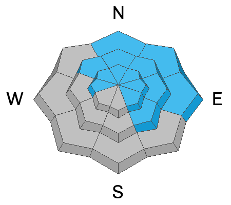
Today’s avalanche danger is CONSIDERABLE and human-triggered avalanches are LIKELY on upper-elevation slopes facing north through southeast. Although the likelihood is going down, the consequences of triggering a persistent slab avalanche up to 4' deep, and hundreds feet wide reamin the same.
For today, I'm heading to mid elevation sunny slopes, out of the wind zone, that offer quality riding and straight forward avalanche hazard.
Low
Moderate
Considerable
High
Extreme
Learn how to read the forecast here
Special Announcements
Receive forecast region-specific text message alerts to receive messages about changing avalanche conditions, watches, and warnings. Sign up and update your preferences HERE.
Weather and Snow
Nowcast
Since Friday, we have received 8-12” of medium density snow with up to .7” of SWE favoring the north half of the range. This morning winds back off, yet remain light (5-15MPH) from the north and are paired with a few lingering snow showers. Temperatures are bitter with windchill in the negatives and trailhead temps hover in the low Farenheit teens.
Forecast
Expect a few snow showers to persist through late morning, followed by mostly cloudy skies and cold temperatures as winds veer from north to southeast, but remain light around 5-10 MPH with a few gusts along the high ridgelines.
Futurecast
The week ahead looks to bring sunshine and a period of calmer weather. but don’t fear, snow returns as the work week ends and the weekend nears.
Recent Avalanches
No new avalanches have been reported in the past 24 hours, but you can find all travel observations and recent slides from across the range and beyond, here.
Ad
Avalanche Problem #1
Persistent Weak Layer
Type
Location
Likelihood
Size
Description
Mr. Ted scroggin lays it out simply and states in his ob, “Felt like a status quo day with no big red flags, but the snowpack structure is still priority,”.
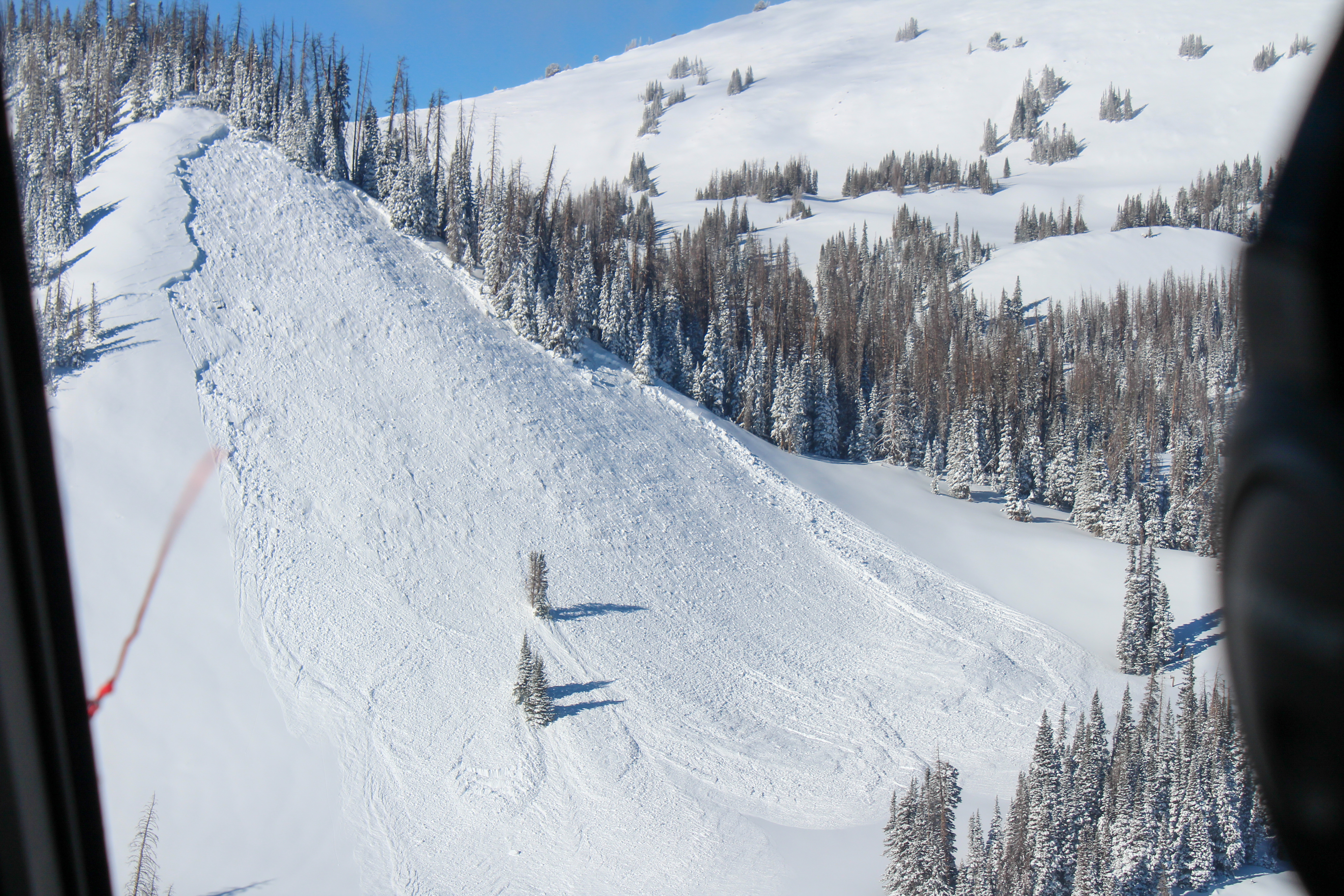
As we see fewer avalanches and obvious red flags like cracking and collapsing it may seem like the weak layer is becoming less reactive, and it is. But there's still a likely chance of triggering an avalanche up to 4’ deep and hundreds of feet wide, like the one in the photo below.
How am I managing this avalanche problem? I'm steering clear of avalanche terrain on the north half of the compass, and gunning for lower angle, wind resistant slopes on the south half of the compass. Good riding, reduced avalanche hazard… seems like the perfect combo.
Avalanche Problem #2
Wind Drifted Snow
Type
Location
Likelihood
Size
Description
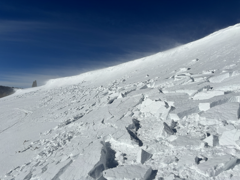
Winds have done their work over the past few days and I expect to find fresh, sensitive drifts, specific to upper elevations slopes facing north through southeast. We are used to managing this avalanche problem, but when triggered today's wind slabs have the potential to break deeper and wider than we might expect, and get out of hand fast. Look for and avoid wind-effected snow that looks pillow-like, rounded, or sounds hollow underneath our sled or skis and is specific to steep starting zones and cross-loaded features of terrain like gullies and convex rolls.
General Announcements
The Uinta weather station network was upgraded this summer and all that real-time info is found here. Simply click on the "Western Uinta" tab and then the "Weather Stations" tab to find all your weather needs.
We are always looking for snow and avalanche observations or just general riding conditions. So... if you see something, say something. You can reach our team directly by contacting: Craig at craig@utahavalanchecenter.org, 801-231-2170, or Andrew at andy@utahavalanchecenter.org, or 860-460-8142.
General Information
This forecast is from the U.S.D.A. Forest Service, which is solely responsible for its content. This forecast describes general avalanche conditions and local variations always occur. This forecast was issued on Sunday, January 12th at 05:00AM and expires 24 hours after it was issued. We will update the forecast by 0700 AM tomorrow. But, in the meantime reach out to us with questions, or if you see anything in your travels.