Forecast for the Skyline Area Mountains

Brett Kobernik
Issued by Brett Kobernik on
Tuesday morning, March 23, 2021
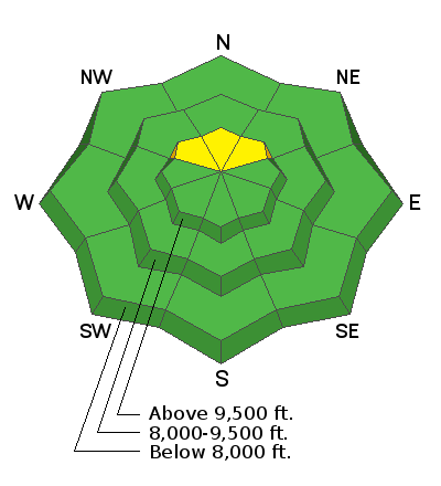
The avalanche danger is generally LOW today.
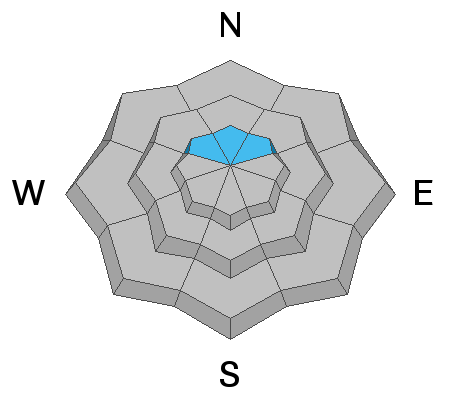
There is a "pockety" MODERATE danger in the highest northerly facing very steep slopes where the snowpack remains shallow. Places where the snowpack is less than 3 or 4 feet deep would be likely spots to still trigger something.
Overall, the snow stability is increasing.
Low
Moderate
Considerable
High
Extreme
Learn how to read the forecast here
Weather and Snow
Current Conditions: Typical for spring, the new snow became damp Monday on all aspects except the highest elevation northerly facing slopes. The mountains received about an inch of snow overnight. Temperatures were in the mid teens overnight. Westerly wind spiked a bit late Monday and has slowed again.
Mountain Weather: The big picture is that today's low pressure trough is splitting and wanting to dive further south than its original track. This is not as favorable for our area and it looks like snow and water amounts will be less according to this morning's weather model runs. We should see snow this afternoon and into tonight. I'm expecting 2 to 4 inches now. High temperatures will be in the mid 20s today and northwest wind will be light this morning and increasing a bit later today. Wednesday looks pretty nice with sun and a bit warmer temperatures. Another storm is shaping up for Thursday night but this one looks as if it wants to split also and dive south. We should still get a shot of snow though.
Ad
Avalanche Problem #1
Persistent Weak Layer
Type
Location
Likelihood
Size
Description
I continue to monitor and speculate about the weak faceted sugary snow that exists at the base of the snowpack. Monday I found some encouraging evidence that stability is improving. On a northeast facing slope at 9750' in elevation, the sugary snow has definitely gained strength. The "hand hardness" has increased to almost a "one finger hand hardness". I did not have any failure in the tests I performed. This is the first time in a long time that a test hasn't failed and propagated in the weak snow near the ground.
Now, I did experience two very large collapses of the snowpack last week. They were higher in elevation and in a shallower location. There are probably a few booby traps still hanging around in this type of terrain where a person might be able to trigger something but conditions are improving. The weak snow near the ground is gaining strength and the layers bridging over the top are quite strong now as well.