Forecast for the Skyline Area Mountains

Issued by Brett Kobernik on
Wednesday morning, February 12, 2020
Wednesday morning, February 12, 2020
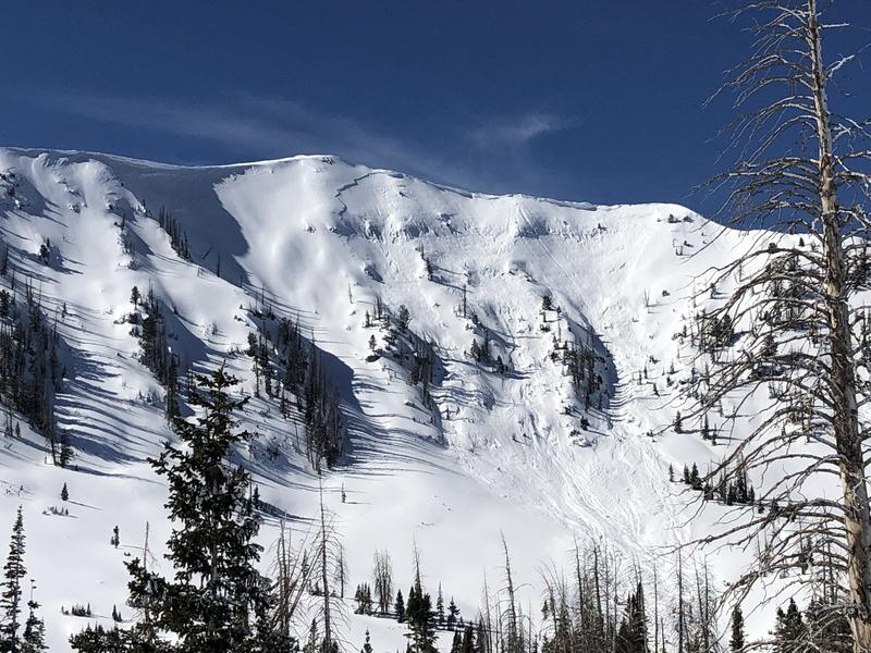
There's been no big change in avalanche conditions over the last few days. We have a LOW to MODERATE avalanche danger. The wind drifts, slabs and cornices continue to get more stubborn and are less likely to crack out on a person now. However, these steep upper elevation more east facing slopes near the ridgelines are the most likely place someone could trigger something today.

Low
Moderate
Considerable
High
Extreme
Learn how to read the forecast here