Forecast for the Skyline Area Mountains

Brett Kobernik
Issued by Brett Kobernik on
Saturday morning, January 30, 2021
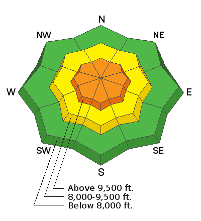
The avalanche danger is CONSIDERABLE today in the higher terrain. Human triggered avalanches are likely. The most likely places will be along ridges and anywhere that is exposed to the wind. Watch for fresh drifts of wind blown snow on steep slopes. Keep slope angles below about 30˚ in steepness to completely avoid avalanche danger.
Low
Moderate
Considerable
High
Extreme
Learn how to read the forecast here
Weather and Snow
Current Conditions: The quick hitting storm overnight delivered about 6 inches of new snow along the upper elevations on the Skyline. Northwest wind was moderate to strong overnight. This will no doubt have drifted some snow. Temperatures were in the upper teens to low 20s. Overall, the snowpack is shallow and weak. Riding conditions are variable. There are many locations where the snowpack will not support skis or snowmachines. You easily punch through to the ground. In the upper elevation wind affected terrain you'll find patches of hard wind slabs that will keep you on the surface.
Mountain Weather: It's going to start out a bit breezy with northwest wind but it should slow down as the day goes on. Clouds will hang around most of the day but may break late this afternoon. High temperatures will remain around 20˚F. Sunday looks like a really nice day with lots of sun and high temperatures in the upper 20s along the higher terrain. The next chance for snow is Tuesday night into Wednesday.
Ad
Avalanche Problem #1
Persistent Weak Layer
Type
Location
Likelihood
Size
Description
Weak faceted sugary snow at the base of our snowpack remains the biggest concern. This loose snow is prone to causing avalanches when enough new snow is added on top of it. The new snow from overnight probably won't be enough to cause widespread human triggered avalanches. Where the wind has formed fresh drifts on top of the old weak snow will be the most likely places to trigger an avalanche today.
This situation with loose sugary snow at the base of the pack is dangerous. It is important to use extreme caution after each storm adds a new layer of snow on top of the old weak snow. Chances are that we will have a larger storm at some point that will distinctly tip the balance and we'll see a more widespread avalanche cycle.