Forecast for the Provo Area Mountains

Drew Hardesty
Issued by Drew Hardesty on
Tuesday morning, March 17, 2020
The danger for wet avalanches will rise to and perhaps exceed MODERATE with direct sun and daytime heating. Natural and human triggered wet avalanches are possible.
Cornices may also fail naturally and on approach.
Low
Moderate
Considerable
High
Extreme
Learn how to read the forecast here
Special Announcements
We are sad to report that a 60-yr-old skier was killed by a large avalanche Sunday in backcountry near Pebble Creek ski resort outside of Pocatello, Idaho. This is not in our forecast zone, but we will assist in the investigation.

We know there is a lot of uncertainty regarding the Coronavirus, but the Utah Avalanche Center is planning to continue issuing regular avalanche forecasts into April.
Uphill Travel at Ski Areas - Some resorts will be offering limited uphill access but not all do. Current info about uphill access from Ski Utah is posted HERE.
Weather and Snow
Skies are partly cloudy with continued southerly winds averaging 15-20mph with gusts to 30.
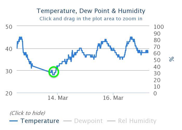
Mountain temperatures are in the mid to upper 30s. Overnight lows were around midnight and we've been warming slowly since then.
Snow surface conditions are a mixed bag of crusts. The sun crusts will soften and break down earlier today than the previous couple of days. Still, it's not really about the skiing and riding, though, is it?

For today, we'll again see increasing clouds by early afternoon. Southerly winds will blow 20-25mph; temps will again rise to the mid-40s at the mid elevations. The stalled-out storm battering California with snow will soon move inland. These types of storms are fraught with uncertainty regarding trajectory and extent of precipitation; that said, we might expect 5-10" accumulating by later Friday. At least cooler air and diminishing winds arrive tonight and tomorrow.
Recent Avalanches
No reports of avalanche activity yesterday.
Ad
Avalanche Problem #1
Wet Snow
Type
Location
Likelihood
Size
Description
Three nights of a marginal refreeze coupled with strong mid-March sun and temperatures warming to near 50°F at the low elevations will lead to wet avalanche conditions on many slopes, even in mid-to-low elevation northerly terrain. When you start to see pinwheels and rollerballs and the snow starts to feel unsupportable and punchy, it's time to head to a cooler aspect, lower angle terrain, or head to the barn. Avoid being in or above terrain traps where the snow may pile up more deeply.

From the Sundance Mid-Mtn weather station (elevation 7450') temperature chart below, you can see that the most recent low temperature of 29°F was Friday evening. Despite some slight diurnal swings in temperature, temps have been warming ever since. We really key in on how well the snow refreezes at night as a significant indicator for wet avalanches potential.
Big picture: the snow will soften early and become soft and unsupportable; wet avalanches will be possible on many slopes. Learn more about wet avalanches here.
General Announcements
This information does not apply to developed ski areas or highways where avalanche control is normally done. This forecast is from the U.S.D.A. Forest Service, which is solely responsible for its content. This forecast describes general avalanche conditions and local variations always occur.