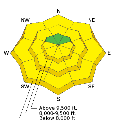
Forecast for the Provo Area Mountains

Drew Hardesty
Issued by Drew Hardesty on
Monday morning, March 16, 2020
The danger for wet avalanches will rise to and perhaps exceed MODERATE with direct sun and daytime heating. Natural and human triggered wet avalanches are possible.
While most wind drifts have stabilized, some may still be sensitive to human provocation today. Cornices may also fail naturally and on approach.
Low
Moderate
Considerable
High
Extreme
Learn how to read the forecast here
Special Announcements
We know there is a lot of uncertainty regarding the Coronavirus, but the Utah Avalanche Center is planning to continue issuing regular avalanche forecasts into April.
Uphill Travel at Ski Areas - Some resorts will be offering limited uphill access but not all do. Current info about uphill access from Ski Utah is posted HERE.
Weather and Snow
Skies are partly cloudy with temperatures in the upper 20s up high, the low 40s down low. This is the second night of a marginal-at-best refreeze at the mid and low elevations.
The relentless winds. Overnight southerly winds blew 20 with gusts to 35, but they've lost a touch of steam in the last hour or two.
Snow surface conditions are a mixed bag of crusts and spring-like conditions.

A storm churning just off the California coast has us under a warm southerly flow where we'll see increasing clouds by midday. Temps will rise into the upper 30s along the ridgelines and the mid-40s down low. Winds will be southerly, blowing 15-20mph.
Cooler weather and periods of precipitation arrive mid-week as the storm moves overhead.
Recent Avalanches
No reports of avalanche activity.
Ad
Avalanche Problem #1
Wet Snow
Type
Location
Likelihood
Size
Description
Two nights of a marginal refreeze coupled with strong mid-March sun and temperatures warming to near 50°F at the low elevations will lead to wet avalanche conditions on many slopes, even in mid-to-low elevation northerly terrain. When you start to see pinwheels and rollerballs and the snow starts to feel unsupportable and punchy, it's time to head to a cooler aspect, lower angle terrain, or head to the barn. Avoid being in or above terrain traps where the snow may pile up more deeply.
General Announcements
This information does not apply to developed ski areas or highways where avalanche control is normally done. This forecast is from the U.S.D.A. Forest Service, which is solely responsible for its content. This forecast describes general avalanche conditions and local variations always occur.