Please do everything possible to avoid getting hurt for yourself and the greater good. As you decide where and how to travel in the backcountry, consider adding just a little extra margin of safety.
Announcement: Please visit this
website with information about Responsible Winter Recreation by the Utah Office of Outdoor Recreation.
This morning, under mostly clear skies there is an inversion in the mountains. At upper elevations, temperatures are climbing towards at mid-30s F while they sit in the mid-20s F at trailheads.. The winds are currently southwesterly, and lightly blowing 5-15 mph with gusts up to 21 mph at the upper ridgelines.
Today will bring a weak weather system through the area from late afternoon into the early evening. Temperatures should climb to the upper 30s F and low 40s F by midday, and then begin to fall. Winds will continue to be Southwesterly and begin to increase gusting up to 35 mph at mid-elevations, and up to 40 mph at upper elevations.
This weak weather system will linger through the evening, ending by early tomorrow morning. If we are lucky we could pick up 1-3" of low-density snow from this system before we move into another brief period of high pressure. Another weak storm arrives for Thanksgiving.
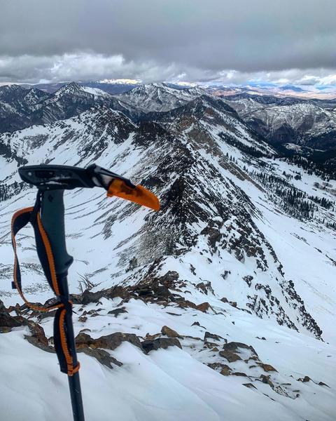
The backcountry is full of a variety of snow surfaces right now, primarily firm crusts. While there is 1-2' of snow on the ground it has been hammered by the wind, sun, and thermal temperature changes. Beyond that, areas that have been getting full sun have been increasingly shallow. Remember, 1-3" of low-density snow will only thinly cover these dangerous and firm riding conditions, continue to ride with caution.
No new avalanches were reported from the backcountry yesterday.
For recent observations from the backcountry, click
HERE....or find them in the Observations and Avalanches tab in the Menu above.