Join us at our 2nd Annual Blizzard Ball

Forecast for the Ogden Area Mountains

Drew Hardesty
Issued by Drew Hardesty on
Wednesday morning, December 4, 2024
The avalanche danger is LOW and the snow is mostly stable. Triggering an avalanche 1-2' deep failing on our PWL (persistent weak layer) is unlikely but not impossible. Otherwise, small wet or dry sluffs can by expected in isolated areas or extreme terrain.
**Remember that risk is inherent in mountain travel.**
Low
Moderate
Considerable
High
Extreme
Learn how to read the forecast here
Special Announcements
The 17th Annual Utah Snow and Avalanche Workshop (USAW) is scheduled for Saturday, December 7th. Information and tickets are available here.
Weather and Snow
Skies are clear, ain't it a shame. My kingdom for a cold front.
Winds are light from the north; temps are in the low to mid 30s up high; the mid 20s down low.
We'll have - again - sunny skies, light northwesterly winds and temps rising to the mid-30s up high, the mid to upper 40s down low.
Riding conditions - while thin and moth-eaten - are surprisingly decent in the weak recrystallized snow in the sun and wind sheltered terrain. But we'll pay for it later. More on this in the Forecaster's Corner in Additional Information below -

The forecast largely remains the same: high and dry with a token storm late weekend. Might be enough for a few inches of snow.

Forecasters often struggle when dropping the avalanche danger to LOW. We seek consensus among the staff and among the professional avalanche community. But there is always an element of capital U uncertainty, particularly when a poor snowpack structure - a poor snowpack structure with a persistent weak layer - exists.
To that end, I have a couple complimentary essays to read:
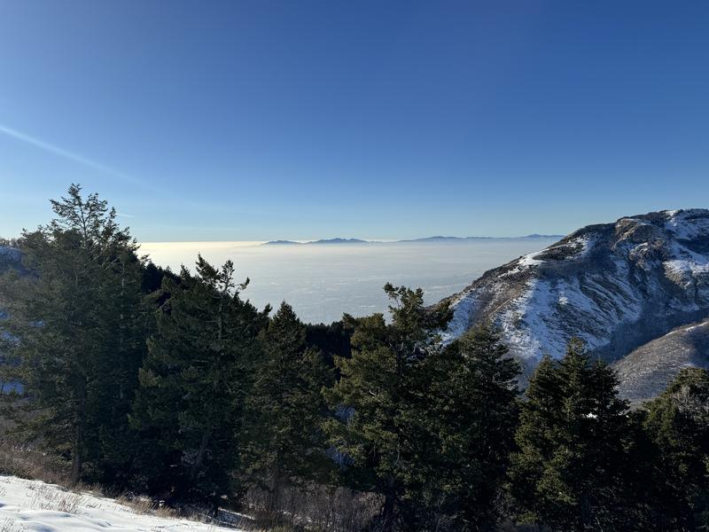
Dave Kelly looking west out across Lake Bonneville
Recent Avalanches
Observers reported continued wet loose avalanches in steep sunlit terrain yesterday. Otherwise quiet.
Ad
Avalanche Problem #1
Persistent Weak Layer
Type
Location
Likelihood
Size
Description
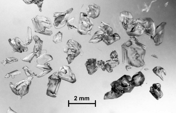
Dave Kelly was up on the North Ogden Divide yesterday and his excellent report is HERE. He found - unsurprisingly - a thin and beleaguered snowpack of 1-2' that was a mess of facets and crusts (photo below). It's a poor snowpack structure, and, as he explains, What's saving us right now is that there is minimal slab on top of these weak layers. As soon as we see any additional snow ( either from storm snow or wind loading ) then things will change quickly and any of these faceted layers will likely be the weak layer that will create avalanches.
Additional Information
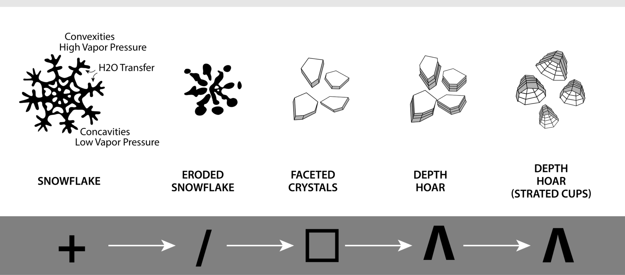
Clear and cold conditions generally wreak havoc on the snowpack and high pressure does the devil's work. A strong temperature and vapor pressure gradient effectively metamorphoses new snow crystals into sharp, angular, faceted grains. It's the current snow surface on the shady aspects and sorta feels like your skiing or riding through sugar. But today's snow surface is tomorrow's weak layer and indeed will become our next Persistent Weak Layer. Photos of faceted grains below. More on the faceting process HERE>
General Announcements
This information does not apply to developed ski areas or highways where avalanche control is normally done. This forecast is from the U.S.D.A. Forest Service, which is solely responsible for its content. This forecast describes general avalanche conditions and local variations always occur.