Forecast for the Moab Area Mountains

Eric Trenbeath
Issued by Eric Trenbeath on
Sunday morning, March 1, 2020
The avalanche danger is generally LOW and mostly stable snow conditions exist. Low danger doesn't mean no danger and it may still be possible to trigger an isolated wind drift in steep, upper elevation, wind affected terrain. Even a small avalanche triggered in the wrong area can have devastating consequences. Practice safe travel techniques and keep an eye toward subtle terrain features that may harbor lingering instabilities.
Low
Moderate
Considerable
High
Extreme
Learn how to read the forecast here
Special Announcements
A new version of the UAC IOS application is now available on the Apple App Store. This version fixes many of the issues that occur when running IOS 13.
Road Conditions: The road is dry dirt at the bottom, snowpacked, slick and icy in places farther up.
Grooming report: LUNA (Lower Utah Nordic Alliance) groomed all trails last Monday.
Weather and Snow
24 Hour Snow 0" Weekly Snow 3" Base Depth in Gold Basin 46" Wind SW 20-25 mph G 40 Temp 26F
Weather: Skies are cloudy and SW winds are cranking ahead of the next storm system that will again largely avoid us. This one is on a split flow with a closed low off of the Southern California coast tracking south, while another moves through to the north. Today look for cloudy skies, moderate to strong SW winds, and high temps in the mid to upper 30's. A chance for a trace of snow is possible. As the trough moves through tonight we may pick up a couple of inches of snow. Look for clearing skies tomorrow with sunny and dry conditions returning for the week. Uggh.
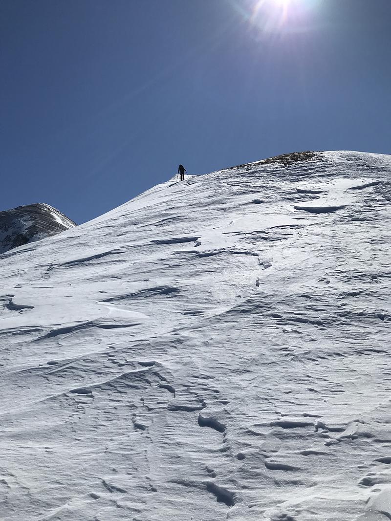
Snowpack: Nothing new to report here. In general, the snow surface consists of a variety of crusts and textures, some supportable, some not, while underneath the pack has deteriorated into a pile of loose, weak, sugary facets. The snowpack is at its weakest point of the season, and as we slide into March there isn't a lot of hope for regaining the robust snowpack we once had. Though not currently posing much of an issue beyond the disastrous turning and riding conditions, this weak snow will become problematic with a significant snow load.
Wind, temperature, humidity on Pre Laurel Peak (11,700')
Storm totals at Gold Basin Study Plot (10,000').
Snotel site near Geyser Pass Trailhead (9600').
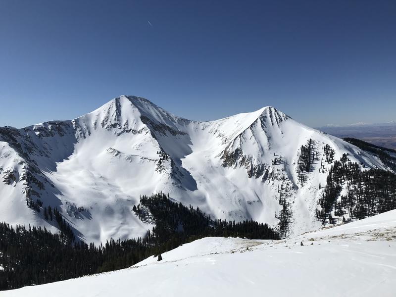
There is still snow up there...
Unfortunately, much of it looks like this:
Brian Hays photos.
Ad
Avalanche Problem #1
Normal Caution
Type
Location
Likelihood
Size
Description
Low danger doesn't mean no danger and the following problems are worth paying attention to when you are out traveling in the mountains.
Wind Drifted Snow: With a wide variety of terrain features and heavy exposure to wind, there are almost always isolated wind slabs lurking about somewhere, especially at upper elevations. In isolated areas, you may encounter wind drifted snow overlying a layer of weak faceted snow. Be on the lookout for old wind slabs on the leeward sides of ridge crests and terrain features, and suspect areas that have a smooth, rounded appearance or that sound and feel hollow like a drum.
Loose snow sluffs: On steep, shady slopes, human triggered, loose snow sluffs entraining weak, faceted snow are possible. Though mostly small and manageable, one could catch you off guard and sweep you into a tree or over a cliff.
Persistent Weak Layer: Shallow snowpack areas have devolved into non-cohesive weak layers of loose, sugary, faceted snow. This weak snow exists wherever the snowpack is less than about 4' deep. Though not posing much of a threat at this time, this will become a concern with future snow loads.
General Announcements
Check out the avalanche beacon training park at the Geyser Pass Trailhead and practice your rescue skills!
This forecast is from the U.S. Forest Service, which is solely responsible for its content. This forecast describes general avalanche conditions and local variations always occur.