Forecast for the Moab Area Mountains

Issued by Eric Trenbeath on
Tuesday morning, February 11, 2020
Tuesday morning, February 11, 2020
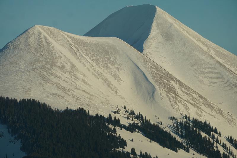
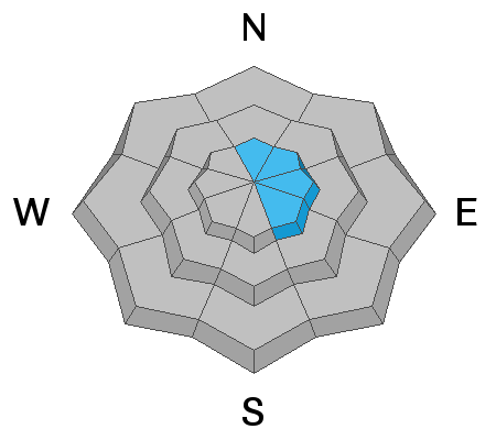
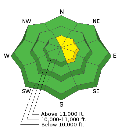
It's becoming more difficult to trigger an avalanche and most terrain has generally LOW danger. A very isolated or MODERATE danger for human triggered avalanches involving wind drifted snow still exists on upper elevation slopes facing N-NE-SE. Wind drifts are recognizable by their smooth, rounded appearance, and they may sound or feel hollow like a drum. In areas of more radical, extreme terrain, where the underlying snow is shallow and weak, a triggered wind drift may cause a deeper and more dangerous avalanche.
Low
Moderate
Considerable
High
Extreme
Learn how to read the forecast here