The new UAC IOS mobile app is now available on the
app store. Check out the new "My Weather" feature.
Check out the new free online
avalanche course series developed by the Utah Avalanche Center. This is a great way to refresh your skills or prepare you for a Backcountry 101 or Level 1 class.
Wait, could it be? Yes! 2" of snow has fallen at the Gold Basin study plot, the first shot from a series of Pacific storm systems lined up to affect our area this week. Overnight, SW ridge top winds averaged 20-25 mph with gusts into the 40's. They've backed off a bit this morning into the 15-20 mph range and 10,000' temps are around 20 degrees. We may see another inch or two this morning before the trough moves east. Winds will shift to the NW at 15-20 mph, high temps will be in the low to mid 20's, with partly sunny skies later today. Brief ridging will build ahead of the next low pressure system that should begin to affect our area late Christmas and into Wednesday. Snowfall amounts remain somewhat unpredictable but we'll keep our fingers crossed for some decent accumulation.
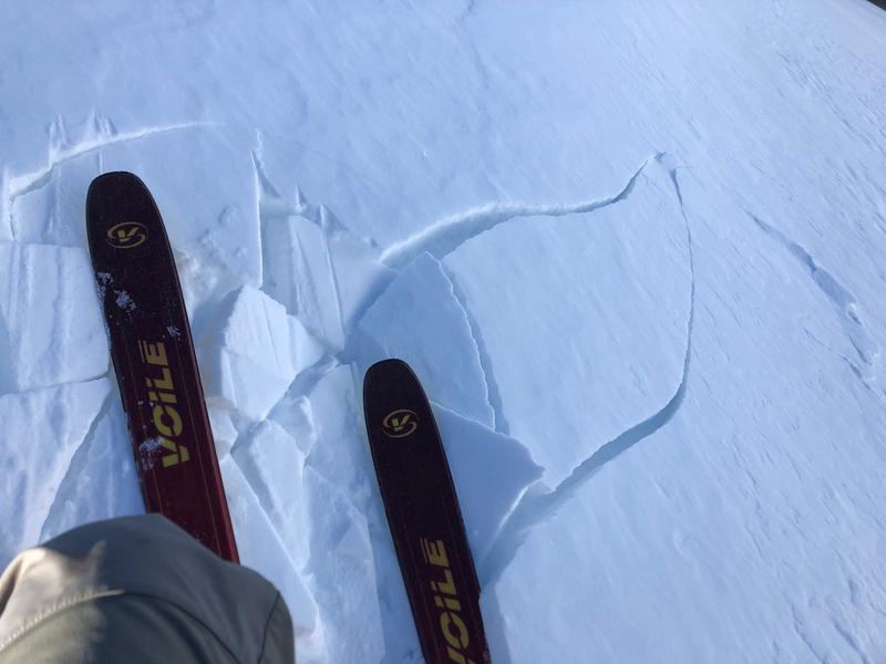
This light refresh won't improve the overall condition much, but it's a start! After three weeks without snow, lots of wind, and warm temperatures, the snow surface is pretty rough and it's going to take a bit more to fill it in. Best bet today will be on shady, sheltered slopes, where soft, sugary, recrystallized snow is lying underneath. Low snow conditions still prevail, be wary of rocks and deadfall lurking just beneath the surface. Base depth in Gold Basin is 28".
For further information check out the most recent observations
here.
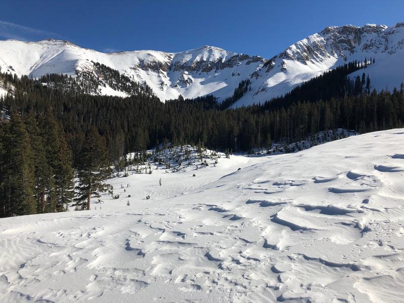
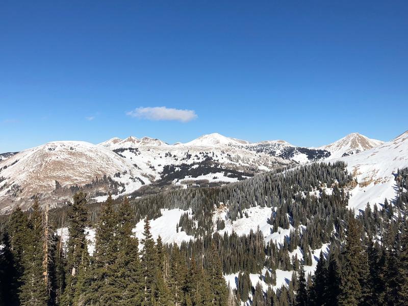
Current snow conditions are pretty rough but it's still beautiful up there!