Forecast for the Logan Area Mountains

Issued by Toby Weed on
Monday morning, March 31, 2025
Monday morning, March 31, 2025
The snow is stable, and the avalanche danger is LOW this morning, but periods of heavy snow and drifting by strong winds from the southwest will elevate the threat to MODERATE at upper elevations this afternoon. People could trigger shallow avalanches of drifted storm snow, most likely on slopes facing the north half of the compass.
Evaluate snow and terrain carefully. Avoid cornices and drifted upper-elevation slopes steeper than 30°.

Low
Moderate
Considerable
High
Extreme
Learn how to read the forecast here

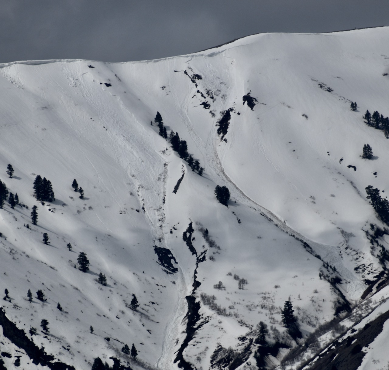 There were a few good-sized wet slab avalanches spawned by the heat last week, including these in Rattlesnake Canyon in the Wellsville Mt Wilderness. These natural avalanches were triggered by cornice fall. The picture is from Saturday, March 29


