Now is a great time to dial in your safety gear including putting fresh new batteries in your beacons! Local shops across the state will be handing out free Batteries for Beacons now until February 1, 2025. All you need to do is fill out a quick survey and grab the AAA or AA batteries you need to keep your beacon fresh this season. Find participating shops and more info
HERE.
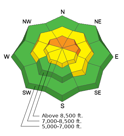
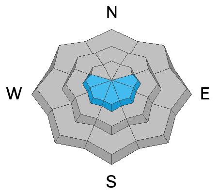
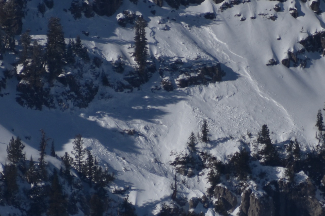
Drifted heavy snow from two storms between December 14 and 17 overloaded upper-elevation slopes plagued by weak, faceted snow. Upper elevation slopes in the northern half of the Logan Zone picked up about two feet of heavy new snow, and the Tony Grove Snotel reported around 3.4 inches of SWE (Snow Water Equivalent.) With a widespread exceptionally weak snowpack, the storms created dangerous avalanche conditions, and people are likely to trigger slab avalanches on slopes steeper than 30°. The danger is LOW on low elevation and sunny slopes that had very shallow snow cover or were bare before last weekend's storm, but the snow is too shallow to ride safely.
-The Tony Grove Snotel at 8400 feet in elevation reports 37° F and there is 33 inches of total snow.
-Winds on Logan Peak are blowing from the southwest 31 mph with gusts up to 38 mph, and it's 34° F this morning.
-It's 37° F at Card Canyon with 29 inches of total snow.
-On Paris Peak at 9500 feet, it is 31° F with southwest winds blowing 24 to 31 mph.
This is the NWS point forecast for Naomi Peak Area:
Today: Mostly sunny, with a high near 40. West southwest wind 11 to 16 mph.
Tonight: Partly cloudy, with a low around 26. Southwest wind 11 to 14 mph.
Saturday: Partly sunny, with a high near 39. Southwest wind 16 to 18 mph.
The high-pressure system will remain over the zone into the weekend, with a chance for relief and some snow on Sunday night and Monday (perhaps 5 to 9 inches of accumulation). A stronger storm is queuing up for Christmas Eve and Christmas Day


