Get free batteries for your transceiver and a chance to win 1 of 10 Black Diamond Rescue Kits, 1 of 3 Mammut Barryvox transceivers, or 1 of 3 BCA Tracker transceivers. Stop at a
participating shop, fill out our survey and get a free set of batteries. Don't need batteries, but still want a chance to win? Simply
fill out the survey to be registered. Promotion runs through December 19.
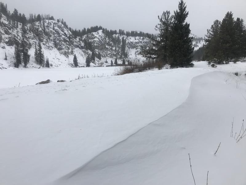
This week's storm deposited around 16 inches of new snow on upper elevation slopes in the Logan Zone. South winds increased yesterday and are cranking along the ridges again this morning, with gusts of nearly 60 mph. It will be mostly cloudy and windy again today, with high temperatures at 8500' around 31°F. A south wind will blow along the ridges at 17 to 24 mph, with gusts as high as 40 mph. The winds will continue to drift the fresh snow at upper elevations creating stiffer and hard wind slabs, dangerous avalanche conditions exist in some areas, and people are likely trigger avalanches on steep slopes.
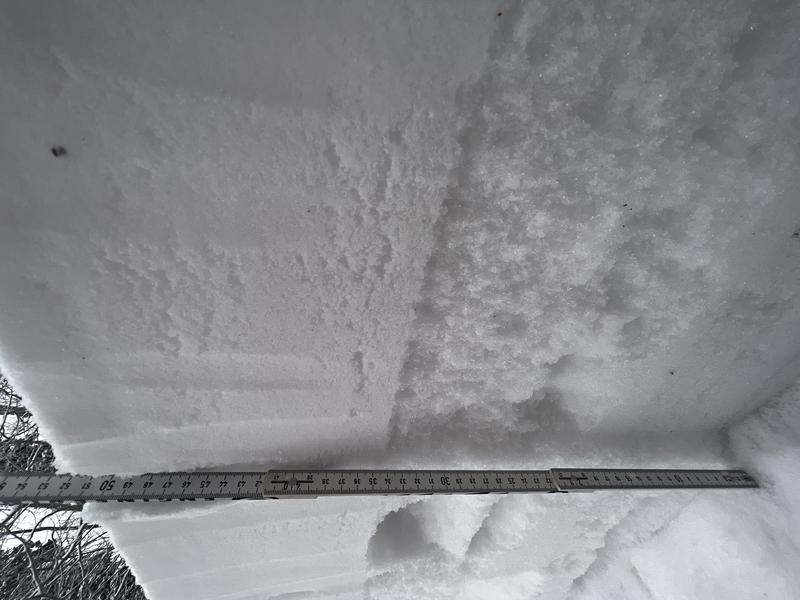
At the highest elevations in the Logan Zone, the fresh snow stacked up on few inches of loose sugary faceted snow capping a very hard rain-crust from mid November. Sunny slopes up high and most terrain at mid and lower elevations were still bare of snow before the storm.
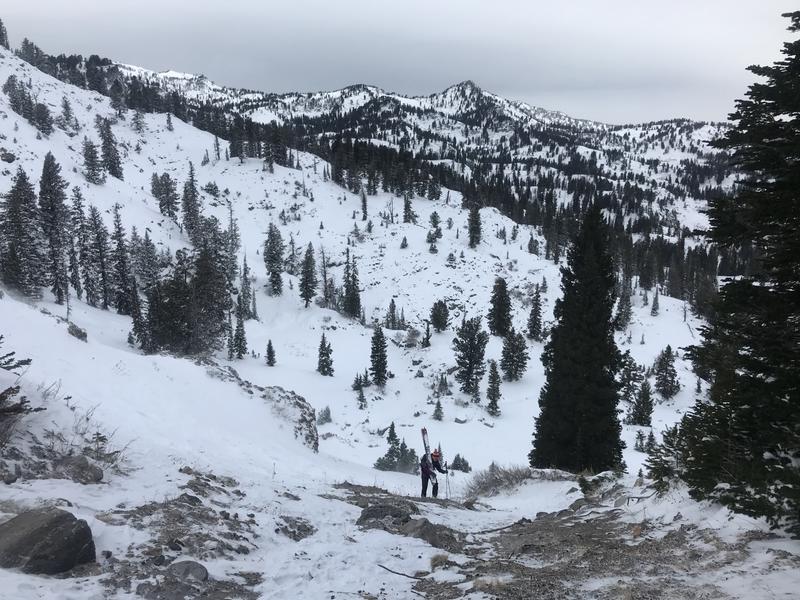
Belle making her way up to the wind-swept saddle. The strong south winds were funneled through the notch and scoured all the snow down to rocks.
A skier reported triggering loud audible collapses and extensive cracking near Steam Mill Peak yesterday.
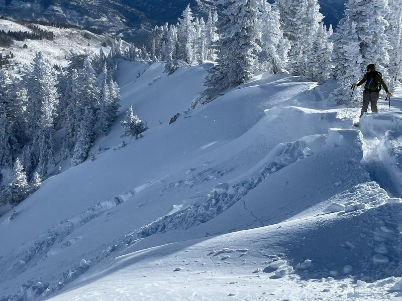
Skiers triggered a small slab avalanche of drifted storm snow on Cornice Ridge Saturday. It was on a north facing slope at around 9300', about 20' wide and 15" deep.
Another party reported triggering a few audible collapses and remotely triggered from below a small slab avalanche that cracked and moved a bit but did not run.


