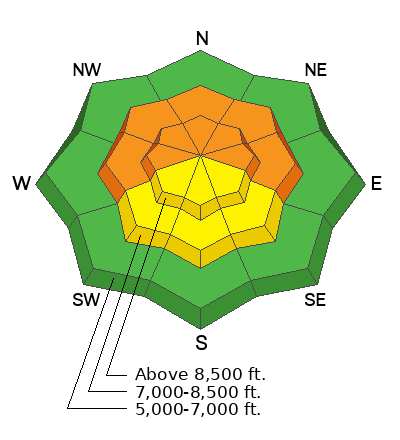
The National Weather Service has issued a Winter Storm Advisory that's in effect from 11:00 am this morning and will last into Tuesday. This two-part storm will begin with an increase in southerly winds that could reach speeds of 30-40 mph this morning. The storm starts warm, and the rain/snow line will ebb and flow around 6,000' in elevation. Snow will begin to fall around lunchtime, lasting into the overnight hours, and could stack up to 11-15 inches of new snow by tomorrow morning.
The second wave moves in late Tuesday evening and will last into Wednesday, where we could see an additional 8-10 inches of new snow by Thursday morning. A drying trend will follow on Thursday/Friday, with another storm on tap for the weekend.
This morning on Logan Peak, the southerly winds are blowing 25-30 mph with mountain temperatures at 19°F. There is powder and excellent riding conditions on almost all aspects and elevations. On sunlit terrain, you will find a slight zipper (melt-freeze) crust that will make riding less enjoyable.
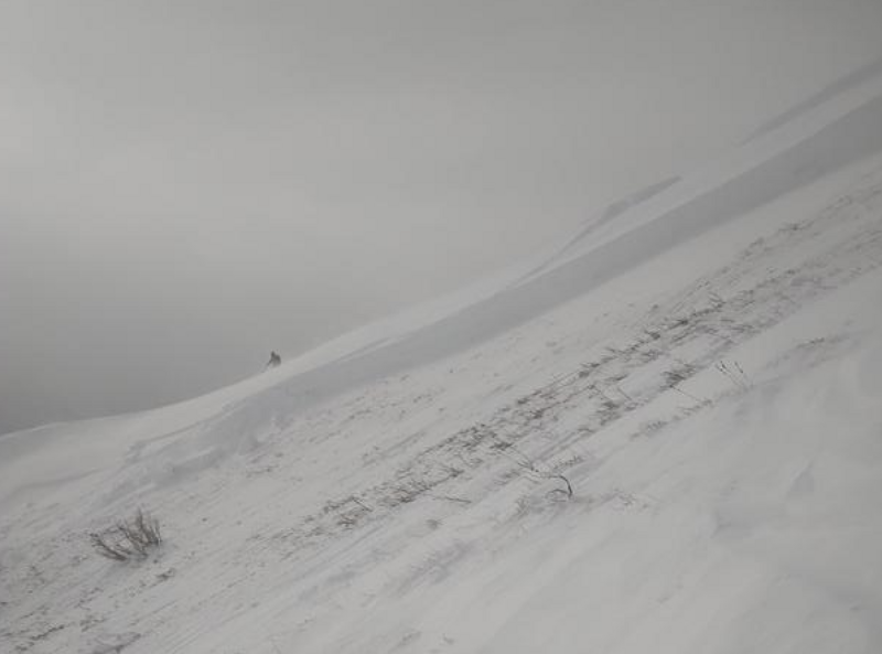
Yesterday a party of skiers had a close call in the
Wellsville Mountain Wilderness in South Bowl. As the skiers descended, they triggered a very large slab avalanche 6 feet deep and 175 feet wide, running 1,500 vertical feet downhill. Thankfully nobody was caught in this avalanche, as the outcome would have been traumatic. Thank you for writing up this avalanche and submitting an observation.
In zones south of Logan, backcountry riders reported many wind slab avalanches, and in the Central Wasatch Range, we had three people swept off their feet and took rides in avalanches yesterday.
Check out this video. Photo: Rouse showing the crown of the avalanche.


