Forecast for the Logan Area Mountains

Issued by Toby Weed on
Monday morning, January 27, 2025
Monday morning, January 27, 2025
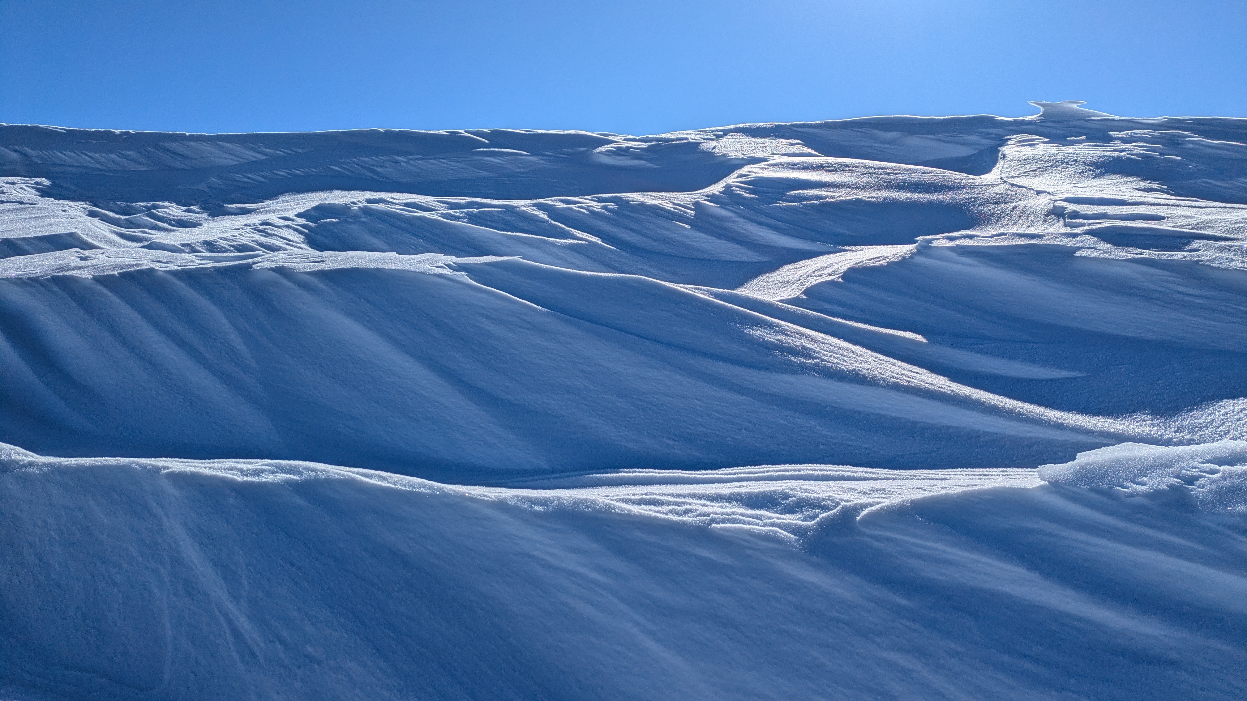
Drifting by strong winds created areas with MODERATE avalanche danger, primarily in exposed upper-elevation terrain. Heightened avalanche conditions exist at all elevations on recently drifted slopes steeper than 30°, where wind slabs formed on a persistent weak layer of faceted surface snow, and people could trigger 1-2 feet thick slab avalanches of wind-drifted snow. The danger is LOW in sheltered mid and lower-elevation terrain in the backcountry.
Evaluate snow and terrain carefully, and reconsider your route if it takes you onto or under steep slopes with recent deposits of wind-drifted snow.

Low
Moderate
Considerable
High
Extreme
Learn how to read the forecast here