UDOT PLANNED AVALANCHE CLOSURES!!

Forecast for the Abajos Area Mountains

Eric Trenbeath
Issued by Eric Trenbeath on
Wednesday morning, February 27, 2019
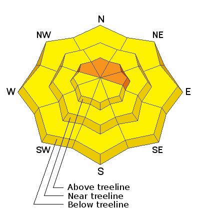
A MODERATE danger exists for human triggered avalanches involving wind drifted snow, and deeper avalanches breaking down to buried persistent weak layers. You are most likely to encounter these problems on steep slopes that face the north half of the compass. Avoid steep slopes that have a smooth, rounded appearance indicating wind drifted snow. Also avoid very steep, rocky, or sparsely treed northerly facing terrain where buried persistent weak layers of loose, sugary, faceted snow still exist.
Low
Moderate
Considerable
High
Extreme
Learn how to read the forecast here
Weather and Snow
Webcam image courtesy of Kevin Dressel.
Clouds are moving into the area ahead of a weak disturbance that may bring a few scattered snow showers to the mountains later today. SW winds are averaging 15-20 mph along ridge tops and temps are in the low 20's. Winds will increase by about 10 mph today and we'll see gusts into the 40's. High temps will be near 30 degrees. The next system will bring a chance of snow Thu-Fri, with a better chance for snow coming on Sat-Sun.
I was out and about with Dustin Randall of ROAM Industry yesterday. It was a beautiful spring-like day in the mountains with associated spring-like conditions. Last week's incredible 50" of snow has settled out considerably but trail breaking is still difficult through up to 2' of snow. The snow got very moist yesterday and S facing slopes are crusted over. Wind exposed slopes have sustained some damage, both from SW and NW winds, but soft snow can still be found in protected areas. Stability tests show that the snowpack has largely adjusted to the snow load. Remaining areas of concern include wind drifted slopes, and steep, shady, northerly aspects where buried persistent weak layers of loose, sugary, faceted snow still exist.
Wind drifts have formed on the leeward sides of terrain features, in between wind scoured zones. Avoid steep, wind drifted slopes that have a smooth, rounded appearance to them.
Snotel totals at Buckboard Flat (8924')
Snotel totals at Camp Jackson (8858')
Wind, temperature, and humidity on Abajo Peak (11,000')
National Weather Service point forecast.
Additional Information
Carry appropriate rescue gear: beacon, probe, shovel, and choose where you ride based on the avalanche forecast for the day!
General Announcements
Your information can save lives. If you see anything we should know about, please help us out by submitting snow and avalanche observations HERE. You can also call me at 801-647-8896, or send me an email: eric@utahavalanchecenter.org.
Support the UAC through your daily shopping. When you shop at Smith's, or online at REI, Backcountry.com, Patagonia, NRS, Amazon, eBay by clicking on these links, they donate a portion of your purchase to the UAC. If you sell on eBay, you can have your See our Affiliate Page for more details on how you can support the UAC when you shop
This advisory is from the U.S.D.A. Forest Service, which is solely responsible for its content. This advisory describes general avalanche conditions and local variations always occur.