The First Annual Avalanche Awareness Week is December 2-7 We have a week full of fun and educational events planned. Check out the schedule
here.
The annual free Know Before You Go avalanche awareness talk will be held at the Grand County Library on Thursday, Dec 5 at 6:00 p.m. Hope to see you there!
The first UAC podcast of the season " Early Season Essentials with Program Director Bo Torrey" check it out
HERE.Get one of these
cool t-shirts to support the UAC and other avalanche centers across the U.S.
Though not forecasted to be a big event, the current storm has proven to be quite underwhelming. Camp Jackson and Buckboard are reporting 3"-4" of new snow overnight. We may squeak a couple more inches out this morning before the trough axis exits the region sometime before noon. Ridgetop SSE winds last night blew in the 20-25 mph range with gusts into the 40's before backing off and swinging to the SW around 3:00 a.m. They are currently averaging 15-20 mph gusting to 30's and it's 24 degrees at 10,000'.
Today look for mostly cloudy skies, lingering snow showers, and decreasing SW winds shifting to NW. High temps will be in the high 20's. Friday and Saturday look to be dry and mostly sunny with our next chance for snow on Sunday.
It was a wild Thanksgiving week in the Abajos with lots of snow and wind. A storm on Tuesday and a two-part storm over Thanksgiving brought 3'-4' to the mountains and coverage is the best I have seen for this time of year. Strong winds from all directions have taken a bit of a toll leaving some exposed slopes blasted down to the grass while leaving others remarkably intact. Soft, settled powder can still be found however in many locations.
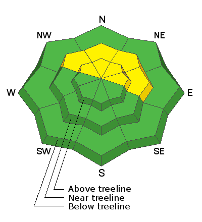
Snowpack Discussion
In our travels Sunday we saw evidence of cracking and slab failure that had occurred during the storm but we saw no actual avalanches, and instabilities within the storm snow had settled out. We noted the presence of wind drifts on steep slopes that should still be avoided, but overall we found a mostly strong snowpack devoid of reactive weak layers. At 10.000' we measured 62" of snow. Travis Nauman, on the other hand, sent in this
observation where he noted the presence of reactive weak layers on NE aspect around 9000' which is certainly a cause for concern. We currently have very limited data and until we gather more, a slope by slope analysis will need to conducted before venturing on to steep, northerly facing terrain.
Wind, temperature, and humidity on
Abajo Peak (11,000')