Forecast for the Abajos Area Mountains

Issued by Eric Trenbeath on
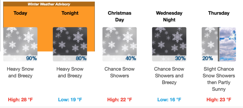
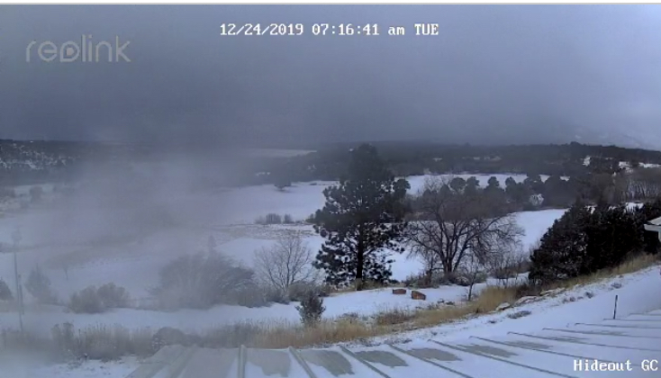
Tuesday morning, December 24, 2019
Tuesday morning, December 24, 2019
Look for a rising avalanche danger today. Blowing and drifting snow will create an increasing MODERATE avalanche danger. Look for fresh deposits of wind drifted snow on the lee sides of ridge crests and terrain features, primarily in upper elevation terrain that faces the north half of the compass. Cracking in the snow surface is a sign of instability. Avoid steep slopes that have about 6" or more of wind drifted snow. If snow totals come in on the upper end of the forecast, the danger could reach CONSIDERABLE sometime tonight. Be alert to changing conditions and anticipate a rise in danger.

Low
Moderate
Considerable
High
Extreme
Learn how to read the forecast here