Observer Name
Dave Jarvis
Observation Date
Monday, February 22, 2021
Avalanche Date
Monday, February 22, 2021
Region
Provo
Location Name or Route
Cascade Mountain West
Elevation
10,400'
Aspect
West
Trigger
Natural
Depth
Unknown
Width
900'
Comments
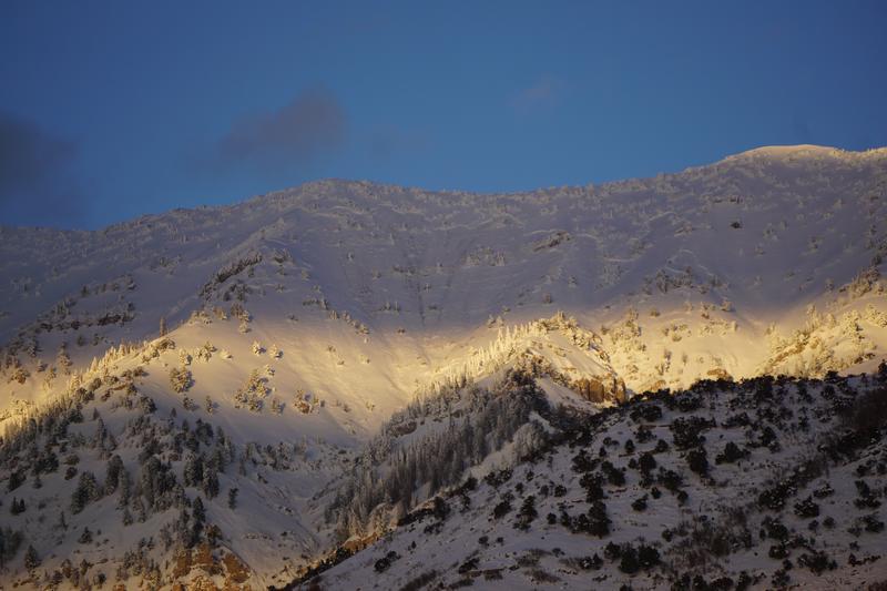
I scanned Timp and Cascade from North Provo late Monday afternoon. I spotted dark vertical streaks starting
near the top of the second couloir south of the summit. The crown fracture is variable in depth, running off & on
for several hundred yards. Dropping in elevation down a middle ridge on the South. The amount of dirt that was
moved showed that it broke to the ground. Probably in basal facets-persistant weak layer. Most of the bowl was
swept, running down a narrower section and out of my view. I suspect there is a substantial debris pile in the
runout area eastof Squaw Peak Road.
I didn't see it Sunday afternoon, so I assume it came down mid-afternoon Monday triggered by solar warming.
The Cascade SNOTEL has been down for over a week,, argh!

Coordinates


