Observation: Lake Peak

Observation Date
4/10/2025
Observer Name
Manship
Region
Salt Lake » Little Cottonwood Canyon » White Pine » Lake Peak
Location Name or Route
Lake Peak
Weather
Sky
Clear
Wind Direction
West
Wind Speed
Light
Weather Comments
A gentle breeze from the west slowed the warm up, that being said I was in a sun hoodie from start to finish.
Snow Characteristics
Snow Surface Conditions
Dense Loose
Wind Crust
Melt-Freeze Crust
Damp
Snow Characteristics Comments
Spring time variable conditions. Last nights refreeze was solid, even at low elevations in the trees. I was able to ski corn on S-SE in the morning and on W in the early afternoon. Except for high NW-N-NE the crust is generally supportable.
I was looking for the last bit of cold snow and was able to find it on steep, due north at upper elevations.
The clear, calm night allowed for a little bit of recrystallization and cooling of the snow surface which helped with the scraps of cold snow.
Avalanche Problem #1
Problem
Wet Snow
Trend
Same
Problem #1 Comments
I noted some wet snow avalanches that seemed to have happened yesterday afternoon on my exit from Red Pine. While the wind kept things at bay in the morning, I wouldn't want to be under steep featured terrain facing S-SW-W later on the afternoon.
Comments
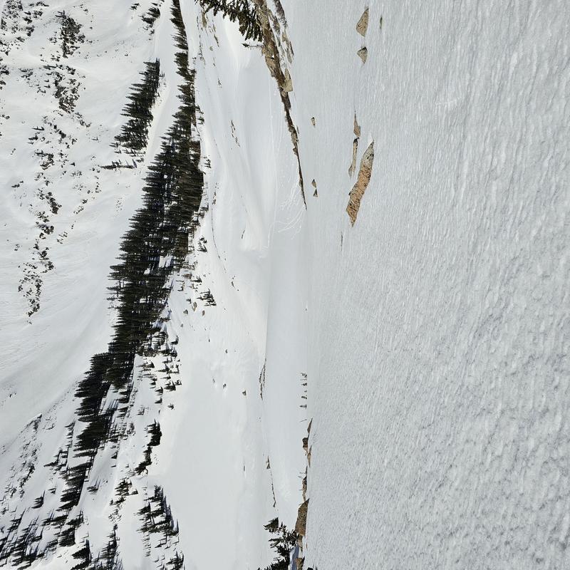
Good conditions are out there, but timing is the crux. The good news is that the warm up after our last storm seemed to be somewhat gradual so there is not debris scattered all around, yielding lots of smooth slopes. Smooth W facing photo below:
Utah quasi-corn is out and about, below is a photo of it when its frozen:
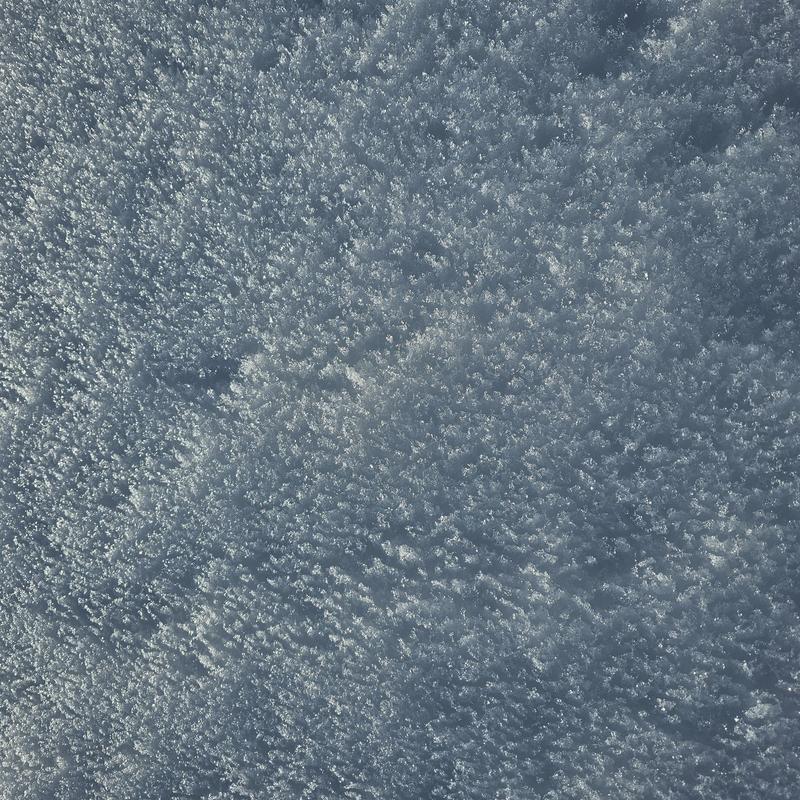
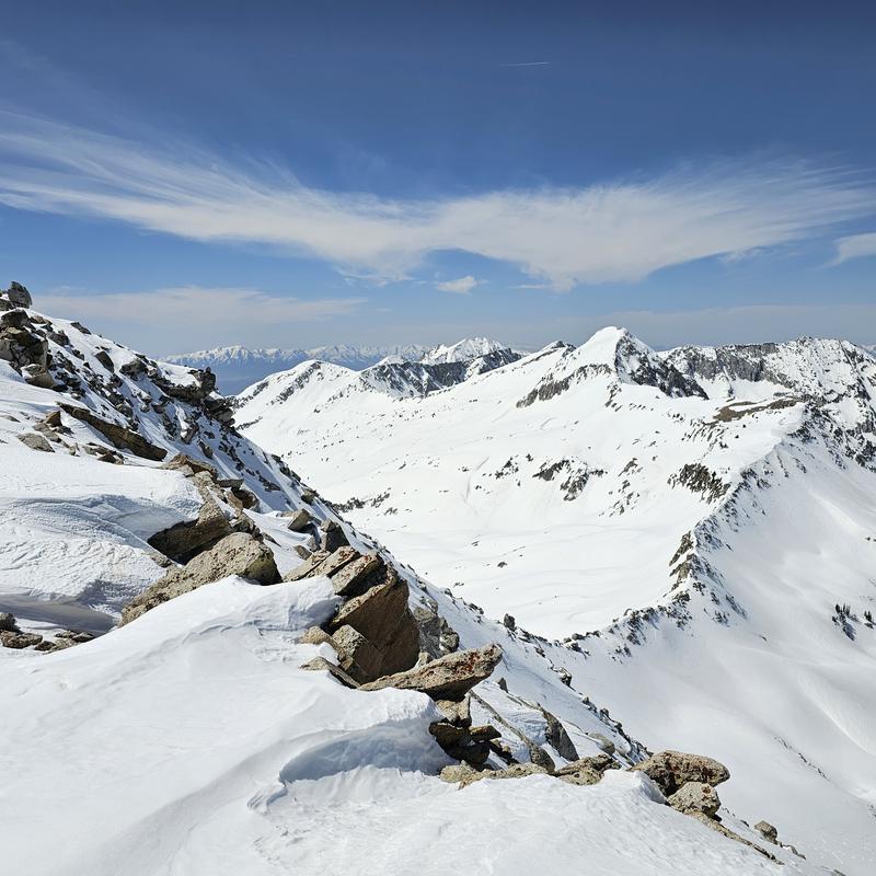
Photo below of some rare, cold turns:
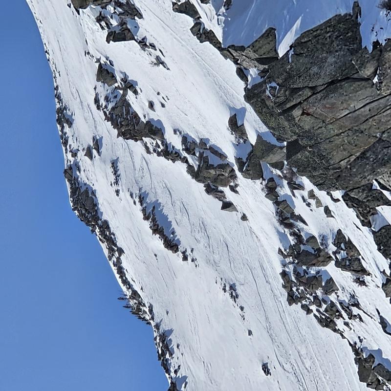
Things ar still looking filled on on the south side of the central Wasatch. Minimal signs of wet activity:
Today's Observed Danger Rating
None
Tomorrows Estimated Danger Rating
None
Coordinates